MyTopo
Wilson Butte Oregon US Topo Map
Couldn't load pickup availability
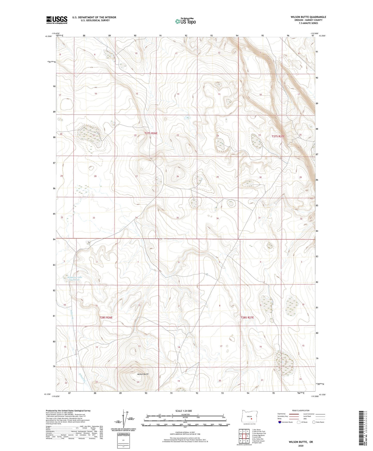
2023 topographic map quadrangle Wilson Butte in the state of Oregon. Scale: 1:24000. Based on the newly updated USGS 7.5' US Topo map series, this map is in the following counties: Harney. The map contains contour data, water features, and other items you are used to seeing on USGS maps, but also has updated roads and other features. This is the next generation of topographic maps. Printed on high-quality waterproof paper with UV fade-resistant inks.
Quads adjacent to this one:
West: Goose Egg Butte
Northwest: Alec Butte
North: Lake on the Trail
Northeast: Iron Mountain Flat
East: Lunch Lake
Southeast: Flybee Lake
South: Rawhide Canyon
Southwest: Dry Valley Rim
This map covers the same area as the classic USGS quad with code o43119b5.
Contains the following named places: Hughet Dam, Wildhorse Lake Reservoir, Wilson Butte