MyTopo
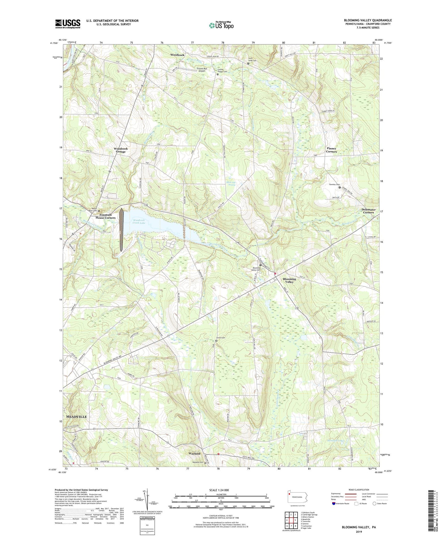
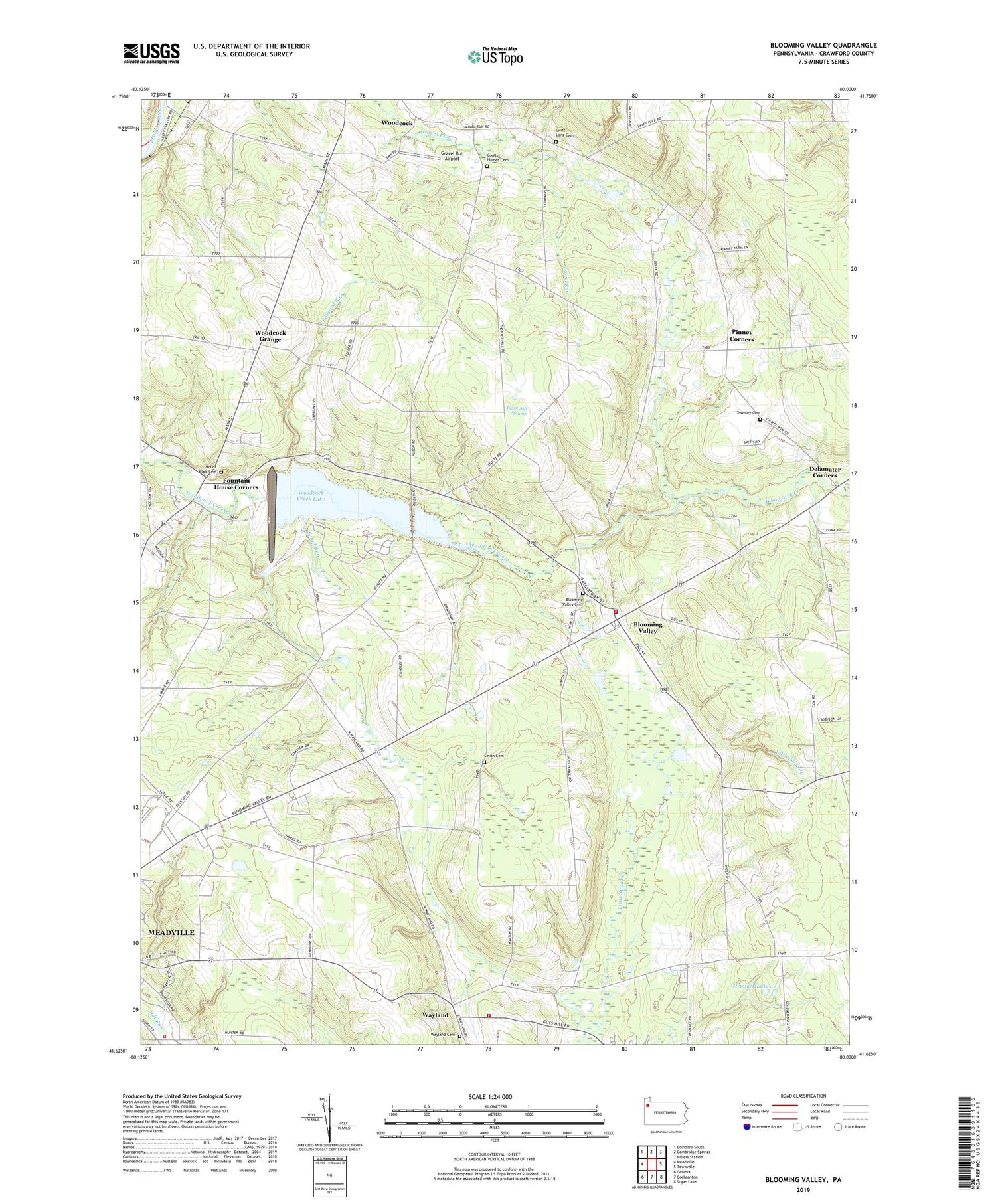
Blooming Valley Pennsylvania US Topo Map
Couldn't load pickup availability
2019 topographic map quadrangle Blooming Valley in the state of Pennsylvania. Scale: 1:24000. Based on the newly updated USGS 7.5' US Topo map series, this map is in the following counties: Crawford. The map contains contour data, water features, and other items you are used to seeing on USGS maps, but also has updated roads and other features. This is the next generation of topographic maps. Printed on high-quality waterproof paper with UV fade-resistant inks.
Quads adjacent to this one:
West: Meadville
Northwest: Edinboro South
North: Cambridge Springs
Northeast: Millers Station
East: Townville
Southeast: Sugar Lake
South: Cochranton
Southwest: Geneva
Contains the following named places: Beech School, Black Ash Swamp, Blooming Valley, Blooming Valley Cemetery, Blooming Valley Volunteer Fire Department 2, Borough of Blooming Valley, Bossard Run, Coulter - Humes Cemetery, Coulter School, Crawford County, Delamater Corners, Delamater School, East Mead Volunteer Fire Company Department 9, Ellis School, Fountain House Corners, Gibson School, Gilmer School, Gravel Run Airport, Grubb School, Hatch School, Hemlock Lakes, Lang School, McCullough School, Moore School, Mount Blair Cemetery, Pierson School, Pinney Corners, Pinney School, Plank Road School, Pleasant Valley Church, Rolf School, Shutz School, Smith Cemetery, Spaid Run, State Road Church, Swift Lang Cemetery, Townley Cemetery, Township of East Mead, Township of West Mead, Township of Woodcock, Wayland, Wayland Cemetery, West Mead Township District 1 Volunteer Fire Company Department 28, Wilkinson School, Woodcock Creek Dam, Woodcock Creek Lake, Woodcock Grange