MyTopo
Distant Pennsylvania US Topo Map
Couldn't load pickup availability
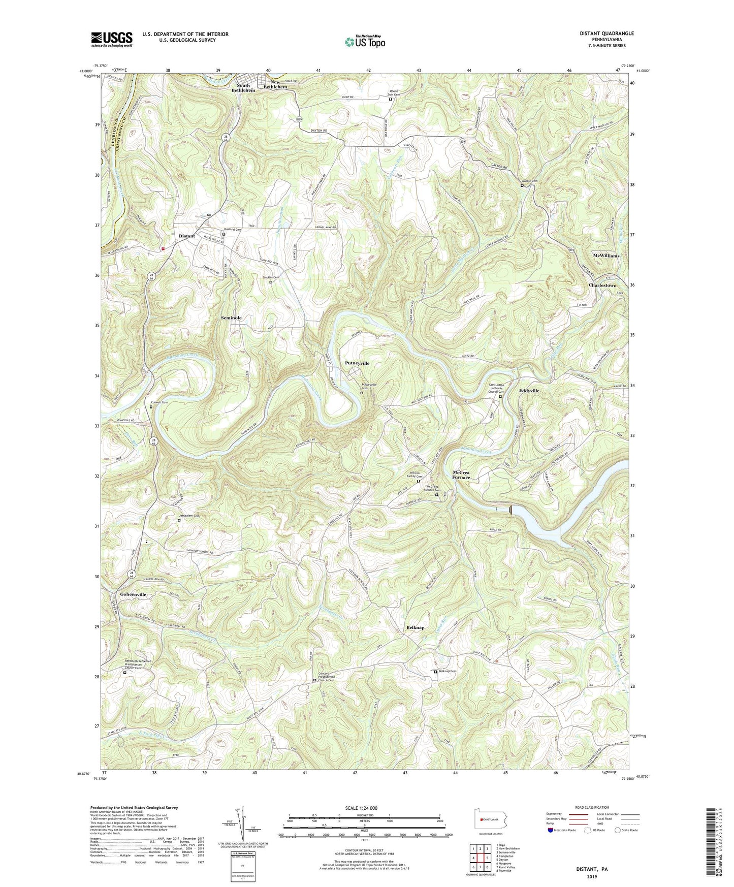
2019 topographic map quadrangle Distant in the state of Pennsylvania. Scale: 1:24000. Based on the newly updated USGS 7.5' US Topo map series, this map is in the following counties: Armstrong, Clarion. The map contains contour data, water features, and other items you are used to seeing on USGS maps, but also has updated roads and other features. This is the next generation of topographic maps. Printed on high-quality waterproof paper with UV fade-resistant inks.
Quads adjacent to this one:
West: Templeton
Northwest: Sligo
North: New Bethlehem
Northeast: Summerville
East: Dayton
Southeast: Plumville
South: Rural Valley
Southwest: Mosgrove
Contains the following named places: Belknap, Belknap Cemetery, Borough of South Bethlehem, Camp Run, Cathcart Run, Cave Run, Charlestown, Colwell Cemetery, Colwell Station, Concord Church, Concord Hill, Concord Presbyterian Church Cemetery, Distant, Distant Area Volunteer Fire Company Station 300, Distant Post Office, Eddyville, Glade Run, Goheenville, Hamilton Run, Jerusalem Church, Jerusalem Lutheran Cemetery, Junction Bostonia Branch Station, Little Mudlick Creek, Mahoning Creek Dam, Mahoning Creek Lake Recreation Area, Mahoning Furnace, Mahoning School, McCrea Furnace, McCreas Furnace Cemetery, McWilliams, Milliron Family Cemetery, Mount Zion Cemetery, Mudlic Cemetery, Mudlick Creek, Muff, Oakland Cemetery, Oakland Church, Oakland Station, Pine Run, Putneyville, Putneyville Cemetery, Rehobeth Reformed Presbyterian Church Cemetery, Saint Marks Church, Saint Marks Lutheran Church Cemetery, Seminole, Smullin Cemetery, South Bethlehem, State Game Lands Number 137, Township of Mahoning, Township of Redbank, Township of Wayne, ZIP Codes: 16223, 16253