
MyTopo
Grand Valley Pennsylvania US Topo Map
Couldn't load pickup availability
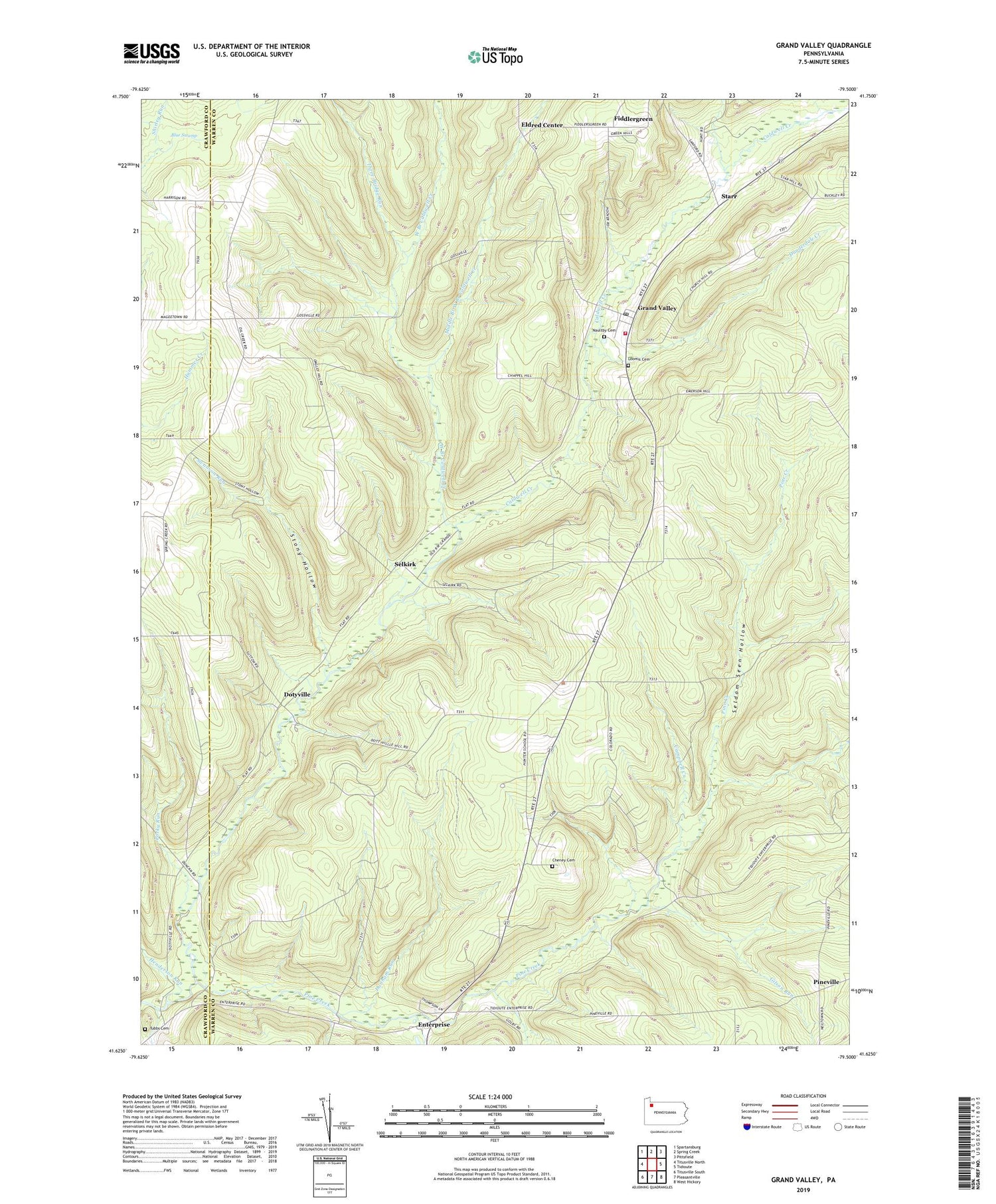
2019 topographic map quadrangle Grand Valley in the state of Pennsylvania. Scale: 1:24000. Based on the newly updated USGS 7.5' US Topo map series, this map is in the following counties: Warren, Crawford. The map contains contour data, water features, and other items you are used to seeing on USGS maps, but also has updated roads and other features. This is the next generation of topographic maps. Printed on high-quality waterproof paper with UV fade-resistant inks.
Quads adjacent to this one:
West: Titusville North
Northwest: Spartansburg
North: Spring Creek
Northeast: Pittsfield
East: Tidioute
Southeast: West Hickory
South: Pleasantville
Southwest: Titusville South
Contains the following named places: Blue Swamp, Caldwell Creek, Campbell Creek, Cheney Cemetery, Colorado Goodwill Hill Grand Valley Oil Field, Colorado School, Cutler School, Dotyville, Dunderdale Creek, Dunham Run, Eldred Center, Enterprise, Excelsior Church, Farrel School, Fiddlergreen, Gilson Corners, Gilson Run, Golby Run, Goodwill School, Goodwill Town Hall, Grand Valley, Grand Valley Post Office, Grand Valley Volunteer Fire Department Station 74, Henderson Run, Hunter School, Loomis Cemetery, Maultby Cemetery, Middle Branch West Branch Caldwell Creek, Mount Hope School, Pine Creek Pumping Station, Pineville, Porky Run, Seldom Seen Hollow, Selkirk, Selkirk School, Starr, State Game Lands Number 272, Stony Hollow, Stony Hollow Run, Swanson Run, Swede Hill School, Three Bridge Run, Township of Eldred, Township of Southwest, Tubbs Cemetery, West Branch Caldwell Creek, White Oak Church, ZIP Code: 16420


