MyTopo
Hadley Pennsylvania US Topo Map
Couldn't load pickup availability
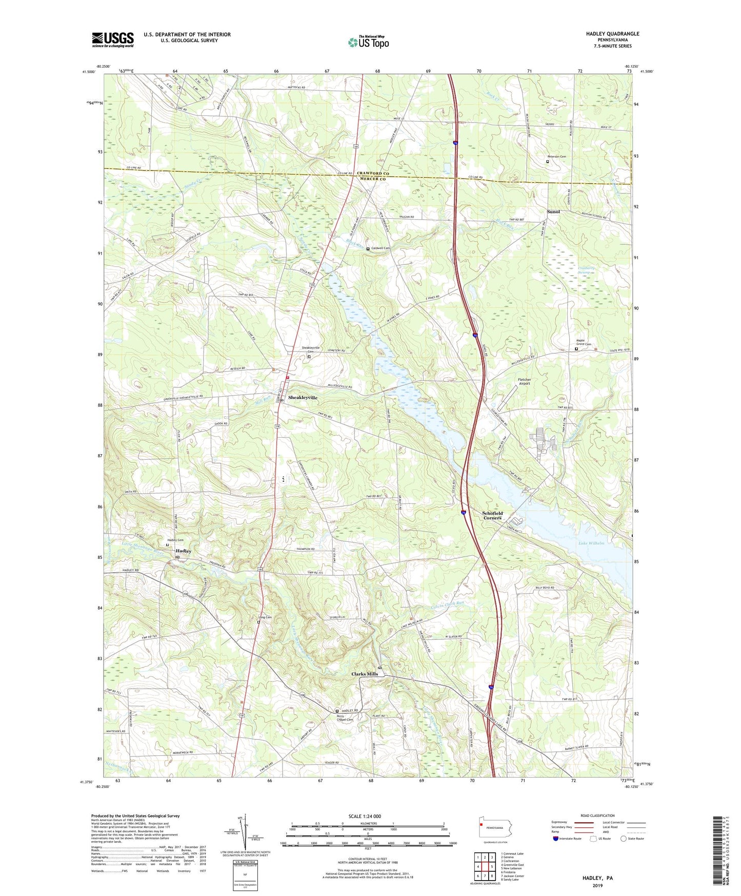
2019 topographic map quadrangle Hadley in the state of Pennsylvania. Scale: 1:24000. Based on the newly updated USGS 7.5' US Topo map series, this map is in the following counties: Mercer, Crawford. The map contains contour data, water features, and other items you are used to seeing on USGS maps, but also has updated roads and other features. This is the next generation of topographic maps. Printed on high-quality waterproof paper with UV fade-resistant inks.
Quads adjacent to this one:
West: Greenville East
Northwest: Conneaut Lake
North: Geneva
Northeast: Cochranton
East: New Lebanon
Southeast: Sandy Lake
South: Jackson Center
Southwest: Fredonia
Contains the following named places: Bell School, Black Run, Borland School, Borough of Sheakleyville, Caldwell Cemetery, Calvin Clark Run, Camp Perry, Camp Wilhelm, Carpenter Corners, Clark Mills Post Office, Clarks Mills, Cranberry Swamp, Deer Creek School, Five Points, Fletcher Airport, Hadley, Hadley Cemetery, Hadley Post Office, Lake Wilhelm, Little Shenango Dam, Little Shenango Dam Reservoir, Long Cemetery, Long School, Maple Grove Cemetery, Marina Boat Launch, Maurice K Goddard State Park, McCracken School, McQuiston Corners, Mill Run, Moyer Dairy Farm, Perry Chapel Cemetery, Perry School, Peterson Cemetery, Pine Run, Pine Run Dam, Pine Run Dam Sediment Pond, Pine School, Schofield Corners, Schofield Run, Sheakleyville, Sheakleyville Cemetery, Sheakleyville Post Office, Sheakleyville Volunteer Fire Department Station 81, State Game Lands Number 270, Steffee Hall of Life Sciences, Sunol, Township of Deer Creek, Township of New Vernon, Township of Perry, Township of Sandy Creek, Wesleyan Church, Williams School, Witmer Farms, ZIP Codes: 16114, 16130, 16151