MyTopo
Markleton Pennsylvania US Topo Map
Couldn't load pickup availability
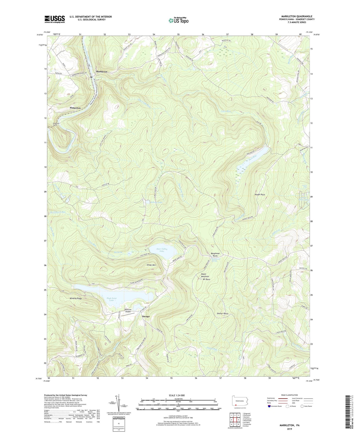
2023 topographic map quadrangle Markleton in the state of Pennsylvania. Scale: 1:24000. Based on the newly updated USGS 7.5' US Topo map series, this map is in the following counties: Somerset. The map contains contour data, water features, and other items you are used to seeing on USGS maps, but also has updated roads and other features. This is the next generation of topographic maps. Printed on high-quality waterproof paper with UV fade-resistant inks.
Quads adjacent to this one:
West: Confluence
Northwest: Kingwood
North: Rockwood
Northeast: Murdock
East: Meyersdale
Southeast: Avilton
South: Grantsville
Southwest: Accident
This map covers the same area as the classic USGS quad with code o39079g2.
Contains the following named places: Baughman Rocks, Baughman Spring, Big Spring, Cove Lake Dam, Cove Run, Deer Valley Camp, Deer Valley Lake, Forbes State Forest, Glade Knob Ski Slope, Glade Mountain, High Point Lake, High Point Lake Dam, High Point Lookout, Isers Run, Keystone Airport, Laurel Falls, Laurel Run, Maple Glen Church, Markleton, Markleton Post Office, Mount Davis, Mount Davis Airport, Mount Davis Natural Area, Mount Davis Observation Tower, Mount Davis Picnic Area, Mount Davis Recreational Camp, Mount Gospel Tabernacle, Mount Zion Church, Mountain View School, Negro Mountain, Peck School, Pinkerton, Pinkerton Tunnel, Roberts Lake, Rockwood Reservoir, Savage, Shelter Rocks, Town Line Run, Township of Elk Lick, Vought Rock, Vought Run, Winding Ridge, ZIP Code: 15540


