MyTopo
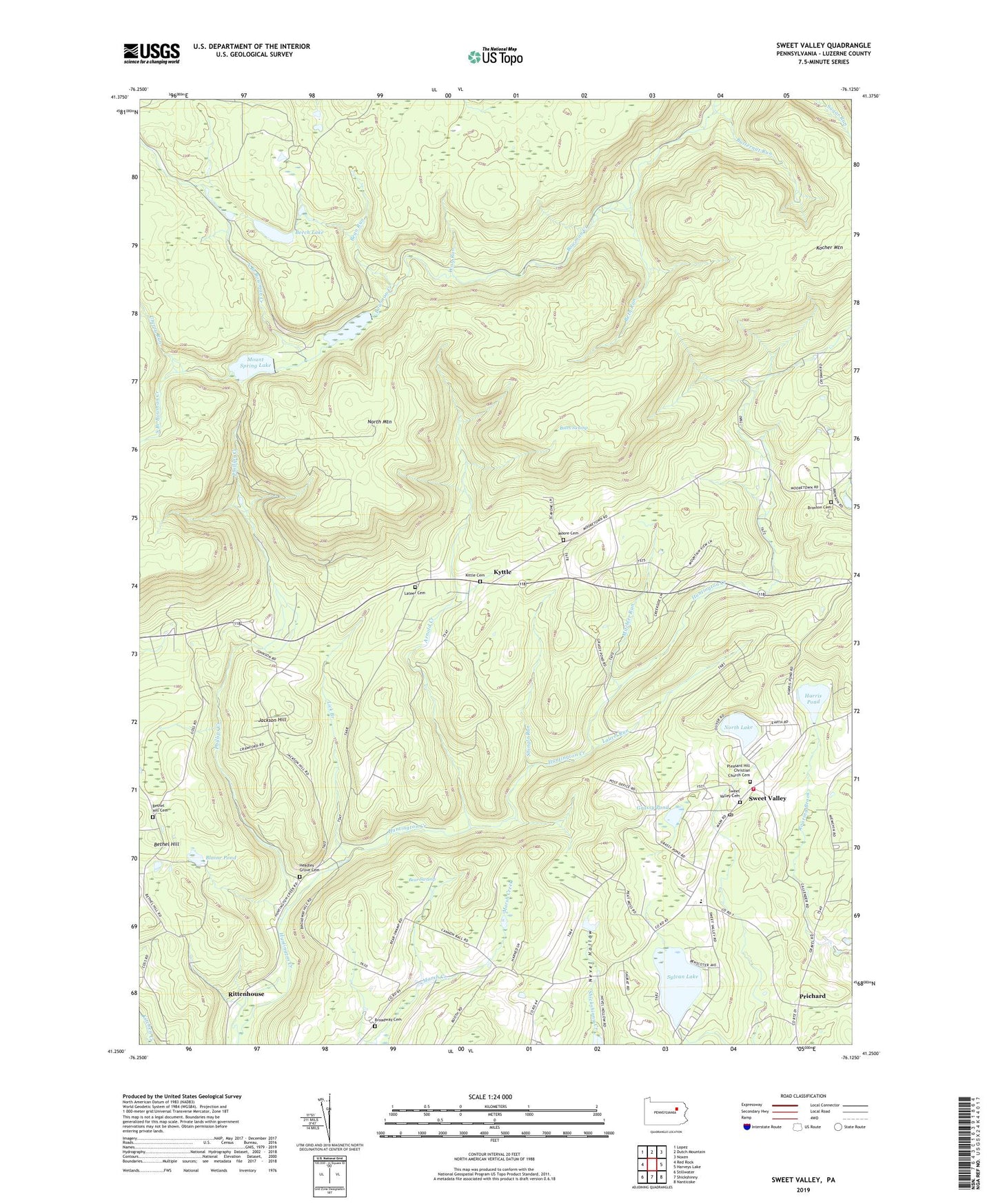
Sweet Valley Pennsylvania US Topo Map
Couldn't load pickup availability
2019 topographic map quadrangle Sweet Valley in the state of Pennsylvania. Scale: 1:24000. Based on the newly updated USGS 7.5' US Topo map series, this map is in the following counties: Luzerne. The map contains contour data, water features, and other items you are used to seeing on USGS maps, but also has updated roads and other features. This is the next generation of topographic maps. Printed on high-quality waterproof paper with UV fade-resistant inks.
Quads adjacent to this one:
West: Red Rock
Northwest: Lopez
North: Dutch Mountain
Northeast: Noxen
East: Harveys Lake
Southeast: Nanticoke
South: Shickshinny
Southwest: Stillwater
Contains the following named places: Arnold Creek, Bates Swamp, Bean Run, Bear Swamp, Beech Lake, Beth Run, Bethel Church, Bethel Hill, Bethel Hill Cemetery, Bethel School, Blaine Pond, Broadway Cemetery, Broadway School, Bronson Cemetery, Butternut Run, Cherry Run, Dam Number Two, Grassy Pond, Harris Pond, Harris Pond Dam, Headley Grove Cemetery, Hetley Grove Church, Jackson Hill, Kittle Cemetery, Kyttle, Lateer Cemetery, Laurel Run, Lick Branch, Mitchler Run, Moore Cemetery, Mooretown Church, Morris Airport, Mott School, Mount Spring Dam, Mount Spring Lake, Mountain Springs, North Branch Bowman Creek, North Lake, North Mountain, Oakdale School, Phillips Creek, Pleasant Hill Christian Church Cemetery, Prichard, Retreat School, Ripple, Rittenhouse, Ross Center School, Shingle Run, South Branch Bowman Creek, Splash Dam, State Game Lands Number 206, Sweet Valley, Sweet Valley Cemetery, Sweet Valley Golf Course, Sweet Valley Post Office, Sweet Valley Volunteer Fire Company Station 173, Sylvan Lake, The Meadows, Township of Ross, Weintz, Wolf Run, ZIP Code: 18656