MyTopo
Cayo Icacos OE N Puerto Rico US Topo Map
Couldn't load pickup availability
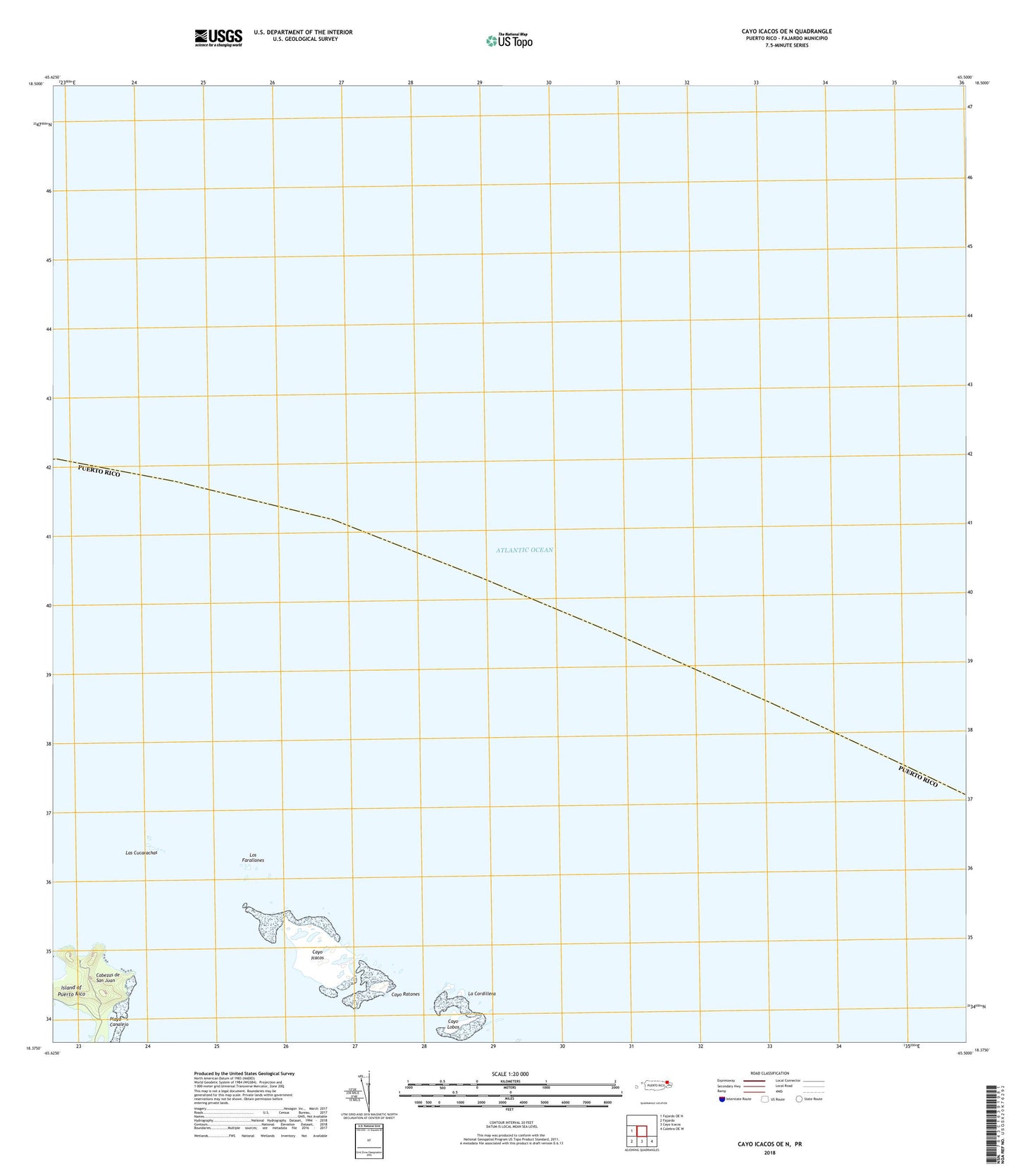
2024 topographic map quadrangle Cayo Icacos OE N in the state of Puerto Rico. Scale: 1:20000. Based on the newly updated USGS 7.5' US Topo map series, this map is in the following counties: Fajardo. The map contains contour data, water features, and other items you are used to seeing on USGS maps, but also has updated roads and other features. This is the next generation of topographic maps. Printed on high-quality waterproof paper with UV fade-resistant inks.
Quads adjacent to this one:
West: Fajardo OE N
Southeast: Culebra OE W
South: Cayo Icacos
Southwest: Fajardo
Contains the following named places: Bajo Laja, Cabezas Barrio, Cabezas de San Juan, Cayo Icacos, Cayo Lobos, Cayo Ratones, Faro de Cabo San Juan, La Cordillera, Laguna Grande, Las Cucarachas, Los Farallones, Pasaje Cucaracha, Pasaje de San Juan, Playa Canalejo