MyTopo
Fajardo OE N Puerto Rico US Topo Map
Couldn't load pickup availability
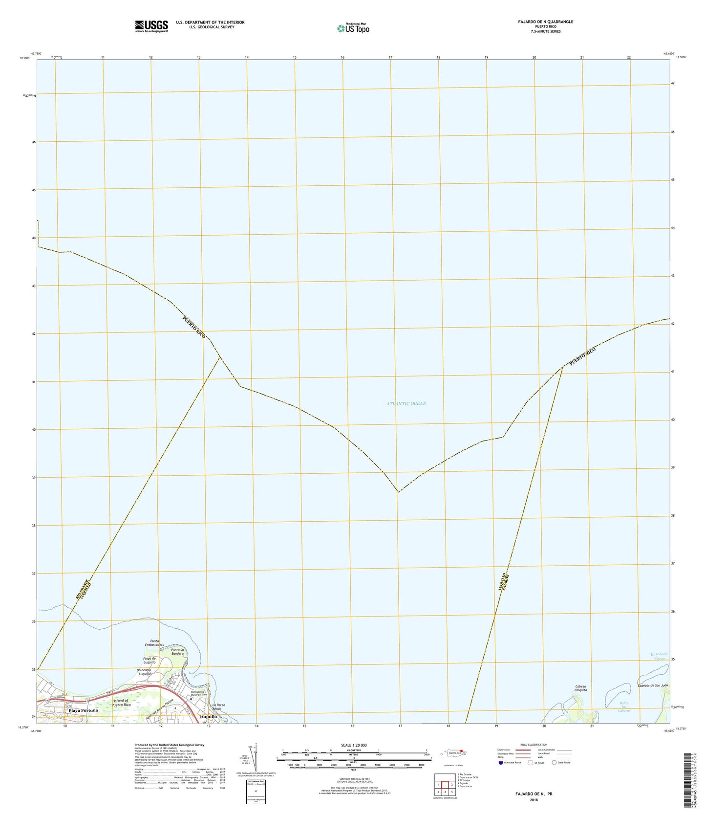
2024 topographic map quadrangle Fajardo OE N in the state of Puerto Rico. Scale: 1:20000. Based on the newly updated USGS 7.5' US Topo map series, this map is in the following counties: Fajardo, Luquillo, R��o Grande. The map contains contour data, water features, and other items you are used to seeing on USGS maps, but also has updated roads and other features. This is the next generation of topographic maps. Printed on high-quality waterproof paper with UV fade-resistant inks.
Quads adjacent to this one:
West: Rio Grande
East: Cayo Icacos OE N
Southeast: Cayo Icacos
South: Fajardo
Southwest: El Yunque
Contains the following named places: Bahia las Cabezas, Balneario Luquillo, Brisas del Mar, Cabeza Chiquita, Costal Azul, Ensenada Yegua, Estancias del Atlantico, Fortuna, La Pared Beach, Luquillo Barrio-Pueblo, Luquillo Mar, Luquillo Post Office, Luquillo Zona Urbana, Monserrate, Old Luquillo Municipal Cemetery, Parque Damaso Rivera, Playa Azul, Playa Azul Shopping Center, Playa de Luquillo, Playa Fortuna, Playa Fortuna Comunidad, Plaza de Oriente Shopping Center, Punta Embarcadero, Punta La Bandera, Quebrada Mata de Platano, Reserva Natural de las Cabezas de San Juan, Rio Mameyes, Solimar, Vilomar