MyTopo
Parguera Puerto Rico US Topo Map
Couldn't load pickup availability
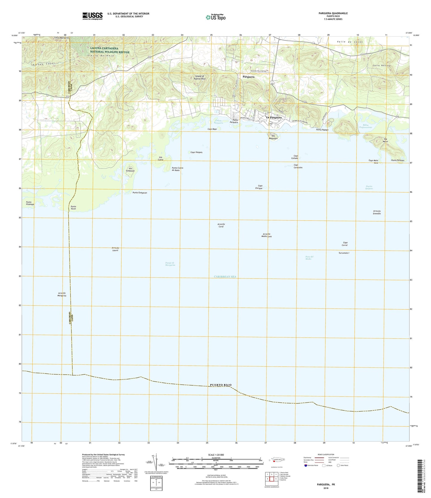
2024 topographic map quadrangle Parguera in the state of Puerto Rico. Scale: 1:20000. Based on the newly updated USGS 7.5' US Topo map series, this map is in the following counties: Lajas, Cabo Rojo. The map contains contour data, water features, and other items you are used to seeing on USGS maps, but also has updated roads and other features. This is the next generation of topographic maps. Printed on high-quality waterproof paper with UV fade-resistant inks.
Quads adjacent to this one:
West: Cabo Rojo
Northwest: Puerto Real
North: San German
Northeast: Sabana Grande
East: Guanica
Contains the following named places: Arrecife Coral, Arrecife Enmedio, Arrecife Laurel, Arrecife Margarita, Arrecife Media Luna, Bahia Fosforescente, Boqueron Wildlife Refuge, Caleta Parguera, Cayo Bayo, Cayo Caracoles, Cayo Collado, Cayo Corral, Cayo Enrique, Cayo Mata Seca, Cayo Vieques, Colinas de la Parguera, Costa Barrio, Escuela Lao Rosas Numero Dos, Isla Cueva, Isla Guayacan, Isla Magueyes, Isla Matei, La Parguera, La Parguera Comunidad, Lajas Municipio, Llanos Barrio, Palmarejo Barrio, Parguera, Parguera Barrio, Pasa del Medio, Pasaje de Margarita, Puerto Quijano, Punta Cueva de Ayala, Punta Guayacan, Punta Papayo, Punta Parguera, Punta Penones, Punta Pitahaya, Punta Tocon, Rancho Cabassa, Sierra Bermeja, Turrumoto I, Universidad de Puerto Rico