MyTopo
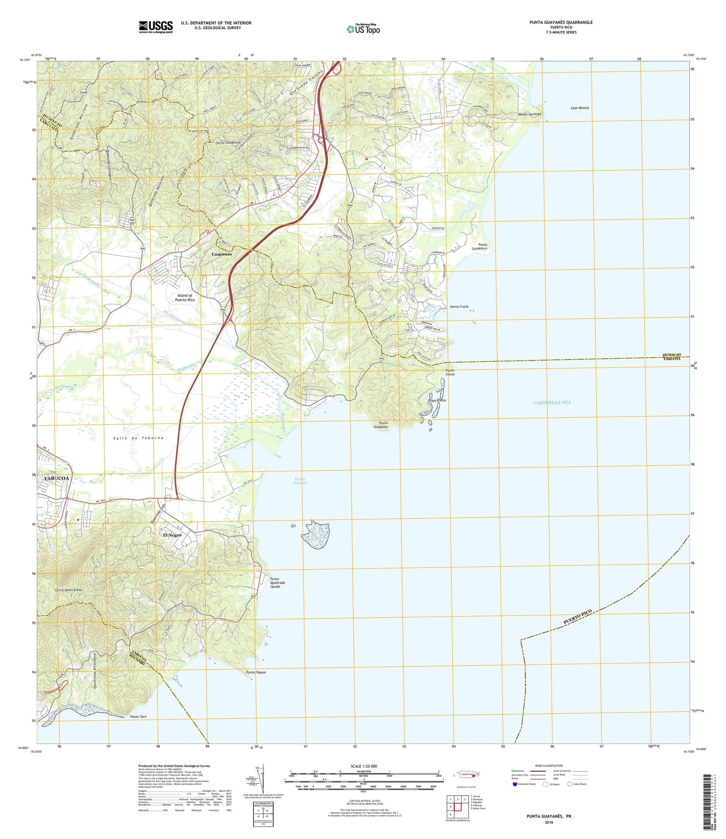
Punta Guayanes Puerto Rico US Topo Map
Couldn't load pickup availability
2024 topographic map quadrangle Punta Guayanes in the state of Puerto Rico. Scale: 1:20000. Based on the newly updated USGS 7.5' US Topo map series, this map is in the following counties: Yabucoa, Humacao, Maunabo. The map contains contour data, water features, and other items you are used to seeing on USGS maps, but also has updated roads and other features. This is the next generation of topographic maps. Printed on high-quality waterproof paper with UV fade-resistant inks.
Quads adjacent to this one:
West: Yabucoa
Northwest: Juncos
North: Humacao
Northeast: Naguabo
Southwest: Punta Tuna
Contains the following named places: Aguacate Barrio, Arkabuko Naguake Woods, Buena Vista, Buena Vista Barrio, Buena Vista Comunidad, Camino Nuevo Barrio, Cancha Doctoro Pedro Albizu Campos, Candelero Abajo Barrio, Candelero Abajo Comunidad, Candelero Arriba, Candelero Arriba Barrio, Candelero Arriba Comunidad, Cano de Santiago, Cayo Batata, Central Roig, Cerro Candelero, Cerro Santa Elena, Comunas, Comunas Comunidad, El Negro, El Negro Comunidad, Escuela Asuncion Lopez, Escuela Eugenio Maria de Hostos, Escuela Guano, Escuela Marina Numero Uno, Escuela Segunda Unidad Luciano Rios, Estadio Felix Millan, Head Start Medez I, Jardines de Yabucoa, Jose M Mendez, Juan Martin Barrio, Miraflores, Monte Hormiga, Morro de Humacao, Palmas del Mar, Palmas del Mar Comunidad, Playa Barrio, Playa de Guayanes, Playa Icacos, Puerto Yabucoa, Punta Candelero, Punta Fraile, Punta Guayanes, Punta Icacos, Punta Quebrada Honda, Punta Toro, Punta Yeguas, Quebrada Aguacate, Quebrada Cortadera, Quebrada Emajagua, Quebrada Laja, Rio Candelero, Rio del Ingenio, Rio Guayanes, Rio Humacao, Roig Sugar Mill, Valle de Yabucoa, WXEW-AM (Yabucoa), Yabucoa Municipio, Zanja Barra


