MyTopo
Punta Tuna Puerto Rico US Topo Map
Couldn't load pickup availability
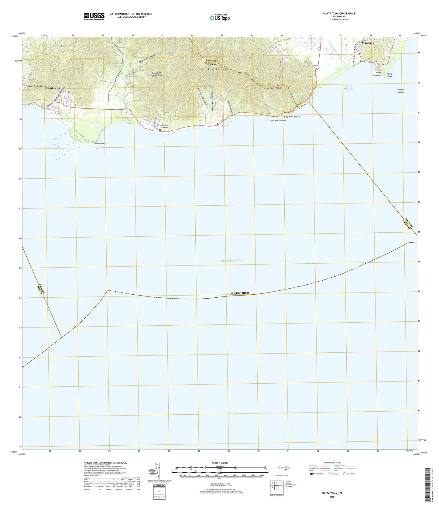
2024 topographic map quadrangle Punta Tuna in the state of Puerto Rico. Scale: 1:20000. Based on the newly updated USGS 7.5' US Topo map series, this map is in the following counties: Maunabo, Patillas, Arroyo. The map contains contour data, water features, and other items you are used to seeing on USGS maps, but also has updated roads and other features. This is the next generation of topographic maps. Printed on high-quality waterproof paper with UV fade-resistant inks.
Quads adjacent to this one:
West: Guayama
Northwest: Patillas
North: Yabucoa
Northeast: Punta Guayanes
Contains the following named places: Arrecife Sargent, Bajo Barrio, Cabo Mala Pascua, Calzada Barrio, Cementerio Guardarraya, Cerro Mala Pascua, Cerro Piedra Hueca, Escuela Segunda Unidad, Escuela Segunda Unidad Bordaleza, Guardarraya Barrio, Hacienda San Isidoro, Jacaboa Barrio, Lamboglia, Lamboglia Comunidad, Maunabo Municipio, Maynabo Lighthouse, Playa Mala Pascua, Playa Maunabo, Pollos Barrio, Puerto Maunabo, Punta Tuna, Punta Viento, Quebrada Arenas, Quebrada Campo Libre, Quebrada Florida, Quebrada Higuera, Quebrada Manglillo, Quebrada Palenque, Recio, Rio Jacaboa, Rio Maunabo


