MyTopo
Bennetts Point South Carolina US Topo Map
Couldn't load pickup availability
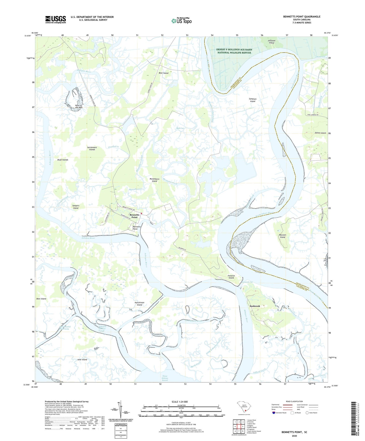
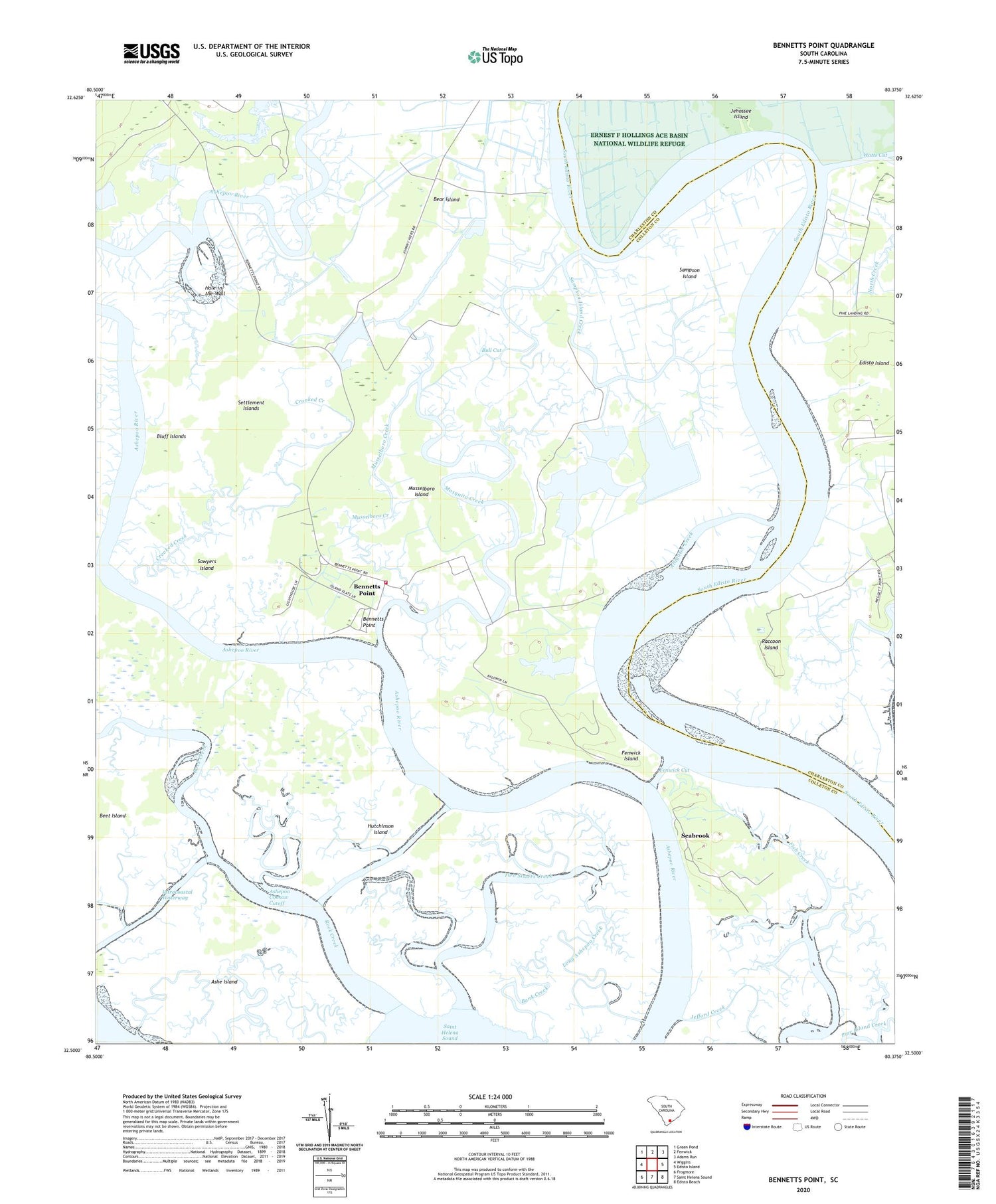
2020 topographic map quadrangle Bennetts Point in the state of South Carolina. Scale: 1:24000. Based on the newly updated USGS 7.5' US Topo map series, this map is in the following counties: Colleton, Charleston. The map contains contour data, water features, and other items you are used to seeing on USGS maps, but also has updated roads and other features. This is the next generation of topographic maps. Printed on high-quality waterproof paper with UV fade-resistant inks.
Quads adjacent to this one:
West: Wiggins
Northwest: Green Pond
North: Fenwick
Northeast: Adams Run
East: Edisto Island
Southeast: Edisto Beach
South: Saint Helena Sound
Southwest: Frogmore
Contains the following named places: Alligator Creek, Ashe Island, Ashepoo Coosaw Cutoff, Bank Creek, Bear Island, Bear Island Game Management Area, Beet Island, Bennetts Point, Bennetts Point School, Bluff Islands, Bull Cut, Colleton County Fire Rescue Bennett's Point Fire Station, Crooked Creek, Dodge Plantation, Fenwick Cut, Fenwick Island, Green Pond Division, Hole-in-the-Wall, Hutchinson Island, Long Ashepoo Creek, Mosquito Creek, Musselboro Creek, Musselboro Island, Pine Landing, Raccoon Island, Rock Creek, Samaritan Church, Sampson Island, Sampson Island Creek, Sawyers Island, Seabrook, Seabrook School, Settlement Islands, Two Sisters Creek, Watts Cut, White House Woods