MyTopo
Bingham South Carolina US Topo Map
Couldn't load pickup availability
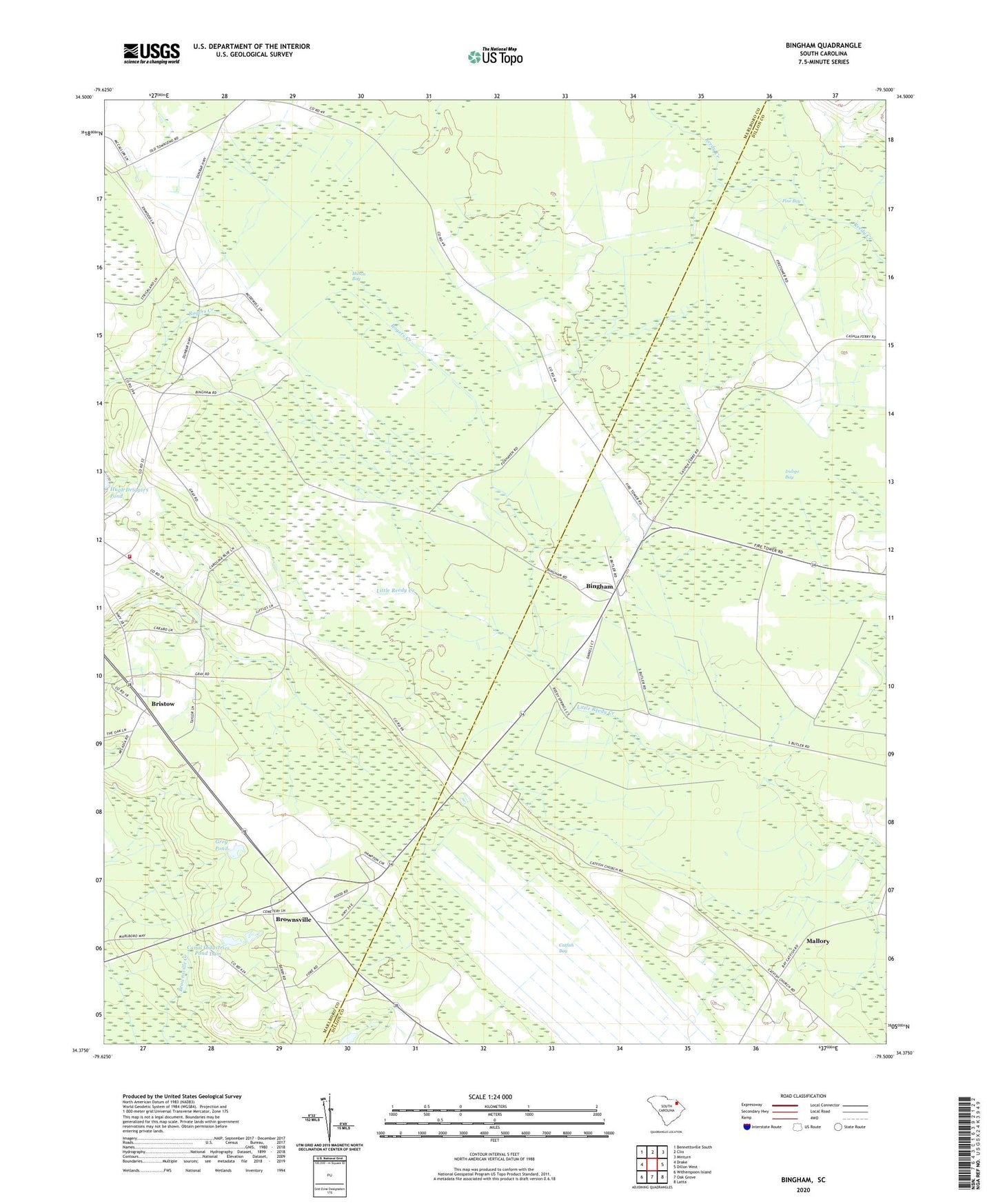
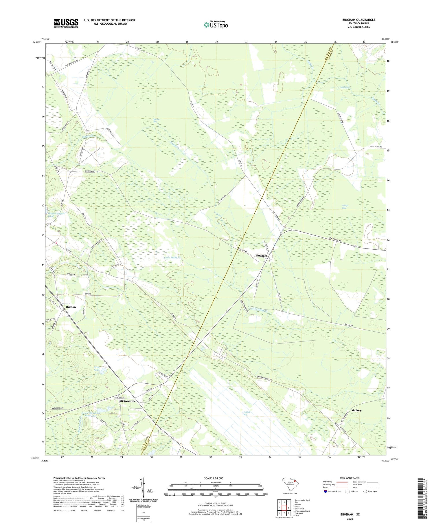
2020 topographic map quadrangle Bingham in the state of South Carolina. Scale: 1:24000. Based on the newly updated USGS 7.5' US Topo map series, this map is in the following counties: Marlboro, Dillon. The map contains contour data, water features, and other items you are used to seeing on USGS maps, but also has updated roads and other features. This is the next generation of topographic maps. Printed on high-quality waterproof paper with UV fade-resistant inks.
Quads adjacent to this one:
West: Drake
Northwest: Bennettsville South
North: Clio
Northeast: Minturn
East: Dillon West
Southeast: Latta
South: Oak Grove
Southwest: Witherspoon Island
Contains the following named places: Bethea Cross Roads, Bethlehem Church, Bingham, Bingham Church, Bingham School, Blenheim Fire Department Brownsville Station, Blenheim Lookout Tower, Bristow, Bristow Freewill Church, Brownsville, Brownsville Church, Brownsville School, Canal Industries Pond Dam, Canal Industries Pond Dam D-2950, Catfish Bay, Grey Pond, Grey Pond Dam D-3460, Hilson Bay, Indigo Bay, Key School, Mallory, Mallory Church of God, Mallory Cross Roads, Manning Church, Pine Bay, Reedy Creek Springs, Sandhill School, Victory Temple