MyTopo
Bennettsville South South Carolina US Topo Map
Couldn't load pickup availability
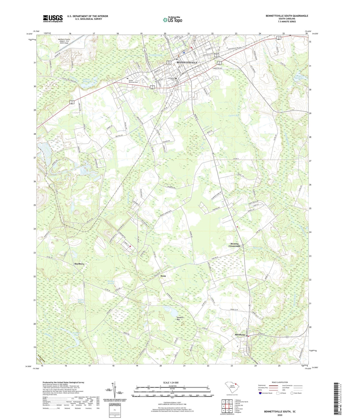
2024 topographic map quadrangle Bennettsville South in the state of South Carolina. Scale: 1:24000. Based on the newly updated USGS 7.5' US Topo map series, this map is in the following counties: Marlboro, Darlington. The map contains contour data, water features, and other items you are used to seeing on USGS maps, but also has updated roads and other features. This is the next generation of topographic maps. Printed on high-quality waterproof paper with UV fade-resistant inks.
Quads adjacent to this one:
West: Society Hill
Northwest: Wallace
North: Bennettsville North
Northeast: McColl
East: Clio
Southeast: Bingham
South: Drake
Southwest: Mont Clare
This map covers the same area as the classic USGS quad with code o34079e6.
Contains the following named places: Ayers, Beauty Spot, Bennettsville, Bennettsville City Hall, Bennettsville Fire Department Downtown, Bennettsville Historic District, Bennettsville Middle School, Bennettsville Police Department, Bennettsville Post Office, Beulah Church, Beulah Methodist Church, Bi-Lo Shopping Center, Blenheim, Blenheim Elementary School, Blenheim Fire Department Blenheim, Blenheim Fire Department Monroe Crossroad Station, Blenheim Fire Department Stoneaway Station, Blenheim Middle School, Calvary Church, Carters Branch, Church of God, Cottingham Creek, Covington Mill, Covington Millpond, Driggers Chapel, Dudley School, Dundee Acres, Ebenezer Church, Ebenezer School, Evans Church, Evergreen Cemetery, First Church of the Nazarene, First Presbyterian Church, First United Methodist Church, Free Will Church, Galilee Church, Grace Heights, Henegan Lake, Holiness Tabernacle, Islay, Lake Creek, Macedonia Missionary Church, Macedonia School, Machine Branch, Marlboro, Marlboro County, Marlboro County Courthouse, Marlboro County General Hospital, Marlboro County Jetport - H E Avent Field, Marlboro County Public Library, Marlboro County Rescue Squad - Medic 1, Marlboro School, McCalls Mill, McCalls Millpond, Monroe Branch, Monroe Crossroads, Murchison School, New Galilee School, Pee Dee Church, Riggins Branch, Saint Denis Church, Saint Lukes Church, Saint Michael Methodist Church, Saint Pauls Church, Salem, Salem Church, Salem School, Sandhill Bay, Sandy Grove Church, Sardis Church, Scott, Shiloh Church, South Carolina Noname 35013 D-3453 Dam, South Carolina Noname 35025 D-3452 Dam, Sunnybrook Heights, Sunset Memorial Park, Thomas Memorial Church, Town of Blenheim, Zion Church, ZIP Code: 29512