
MyTopo
Bishopville East South Carolina US Topo Map
Couldn't load pickup availability
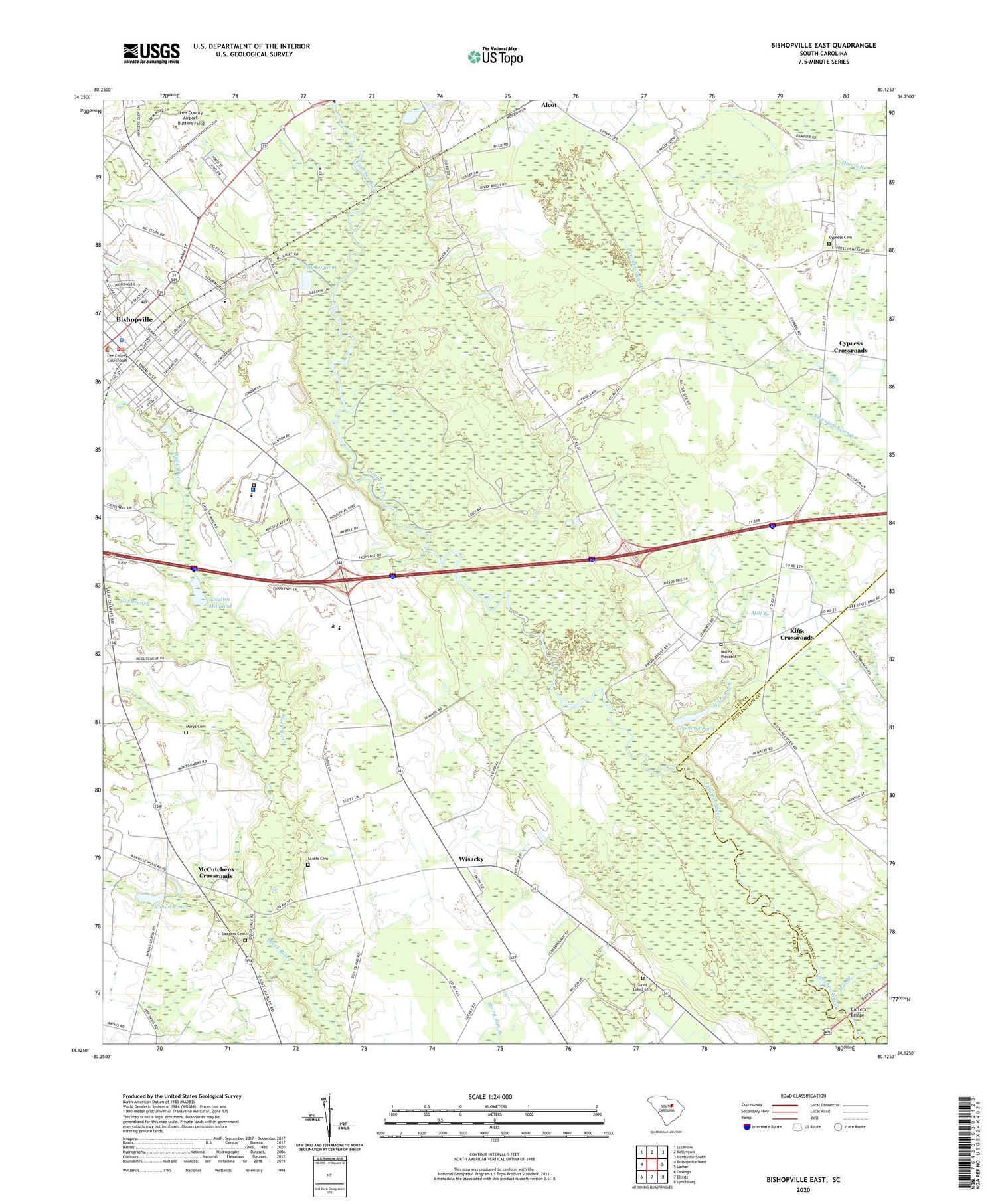
2020 topographic map quadrangle Bishopville East in the state of South Carolina. Scale: 1:24000. Based on the newly updated USGS 7.5' US Topo map series, this map is in the following counties: Lee, Darlington. The map contains contour data, water features, and other items you are used to seeing on USGS maps, but also has updated roads and other features. This is the next generation of topographic maps. Printed on high-quality waterproof paper with UV fade-resistant inks.
Quads adjacent to this one:
West: Bishopville West
Northwest: Lucknow
North: Kellytown
Northeast: Hartsville South
East: Lamar
Southeast: Lynchburg
South: Elliott
Southwest: Oswego
Contains the following named places: Bethlehem Church, Bishopville, Bishopville Commercial Historic District, Bishopville Fire Department, Bishopville Middle School, Bishopville Police Department, Bishopville Post Office, Bishopville Primary School, Broad Branch, Carters Bridge, City Lagoon, City of Bishopville, Cooper Mill School, Coopers Cemetery, Copeland Pond, Copeland Pond Dam D-2426, Cypress Cemetery, Cypress Crossroads, Cypress School, Dennis School, Duboses Ferry, Emmanuel Church, Emmanuel School, English Millpond, Enoch School, Fields Bridge, First Church of the Nazarene, Gin Branch, Kiffs Crossroads, Lee Correctional Institution, Lee Correctional Institution Infirmary, Lee County Airport-Butters Field, Lee County Courthouse, Lee County Health Center, Lee County Public Library, Lee County Rural Fire Department Bishopville, Lee County Rural Fire Department Headquarters, Lee State Park, Marys Cemetery, McCutchens Crossroads, Mill Branch, Mount Hermon Church, Mount Lisbon Church, Mount Lisbon School, Mount Pleasant Cemetery, Mount Pleasant School, New Bethel African Methodist Episcopal Church, New Emmanuel Church, New Zion Church, Newmans Ferry, Progressive Church, Robert E Lee Academy, Saint Lukes Cemetery, Saint Paul School, Saint Pauls Number 1 Church, Sandy Grove Church, Scotts Cemetery, Shaws Pond, South Carolina Noname 31006 D-2418 Dam, South Carolina Noname 31021 D-2420 Dam, South Carolina Noname 31022 D-2421 Dam, WAGS-AM (Bishopville), Wayside Church, Weatherly, Wesley Memorial Church, Wisacky, Wisacky Census Designated Place, Woodward Park


