MyTopo
Kellytown South Carolina US Topo Map
Couldn't load pickup availability
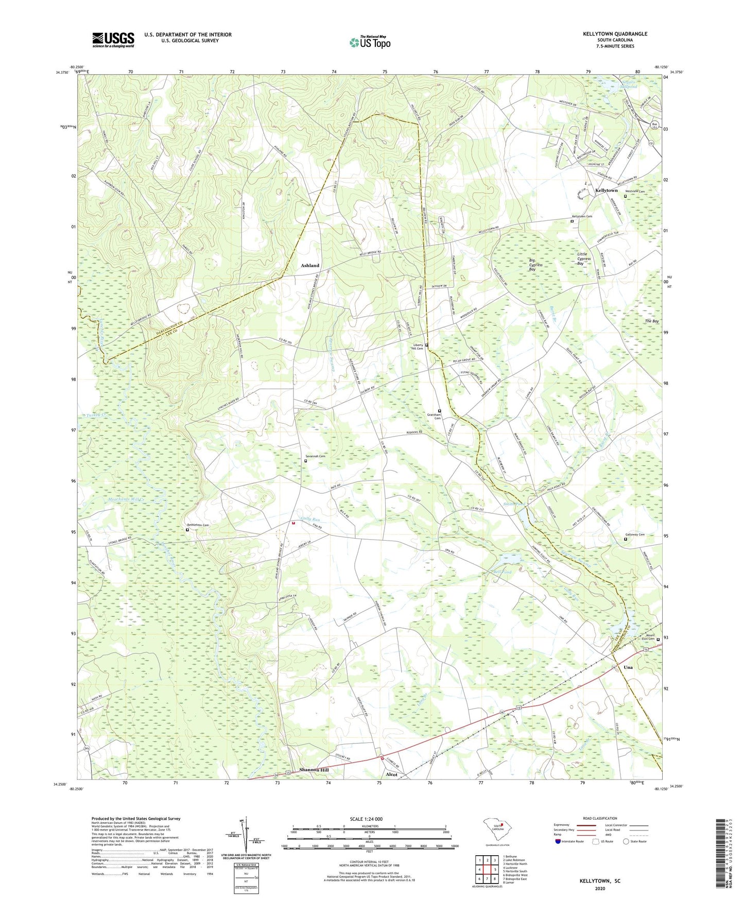
2024 topographic map quadrangle Kellytown in the state of South Carolina. Scale: 1:24000. Based on the newly updated USGS 7.5' US Topo map series, this map is in the following counties: Lee, Darlington. The map contains contour data, water features, and other items you are used to seeing on USGS maps, but also has updated roads and other features. This is the next generation of topographic maps. Printed on high-quality waterproof paper with UV fade-resistant inks.
Quads adjacent to this one:
West: Lucknow
Northwest: Bethune
North: Lake Robinson
Northeast: Hartsville North
East: Hartsville South
Southeast: Lamar
South: Bishopville East
Southwest: Bishopville West
This map covers the same area as the classic USGS quad with code o34080c2.
Contains the following named places: Alcot, Alcot School, Ashland, Ashland Church, Ashland School, Beaverdam Creek, Bell Pond, Bells Branch, Bethlehem Cemetery, Bethlehem Church, Big Cypress Bay, Botany Woods, Burnt Branch, Clyde School, Ebenezer Church, Ebenezer School, Forest Hills, Galloway Cemetery, Grantham Cemetery, Gully Run, Hebron Church, Hebron School, Highpoint School, Jerusalem Church, Kellybell Church, Kellybell School, Kellytown, Kellytown Baptist Church, Kellytown Cemetery, Kellytown School, Lee County Rural Fire Department Station 4, Lee County Rural Fire District Una Alcott, Liberty Hill Cemetery, Liberty Hill Church, Little Cypress Bay, Marco Millpond, Merchants Mill Creek, Mount Beulah Church, Mount Beulah School, Mount Elon Cemetery, Mount Elon Church, Mount Tema Church, Mount Tema School, Rock Hill School, Sandy Bluff School, Savannah Cemetery, Savannah Church, Segars Mill, Segars Mill Stream, Segars Millpond, Shady Grove Church, Shannon Hill, Shannon Hill Church, Smith Pond, South Carolina Noname 16003 D-3516 Dam, South Carolina Noname 16031 D-3515 Dam, South Carolina Noname 31001 D-2425 Dam, Spiveys Ferry, Stokes Bridge, Stokes Bridge-Cypress Crossroads Division, Turkey Creek, Una, West Hartsville School, Westview Cemetery