MyTopo
Dongola South Carolina US Topo Map
Couldn't load pickup availability
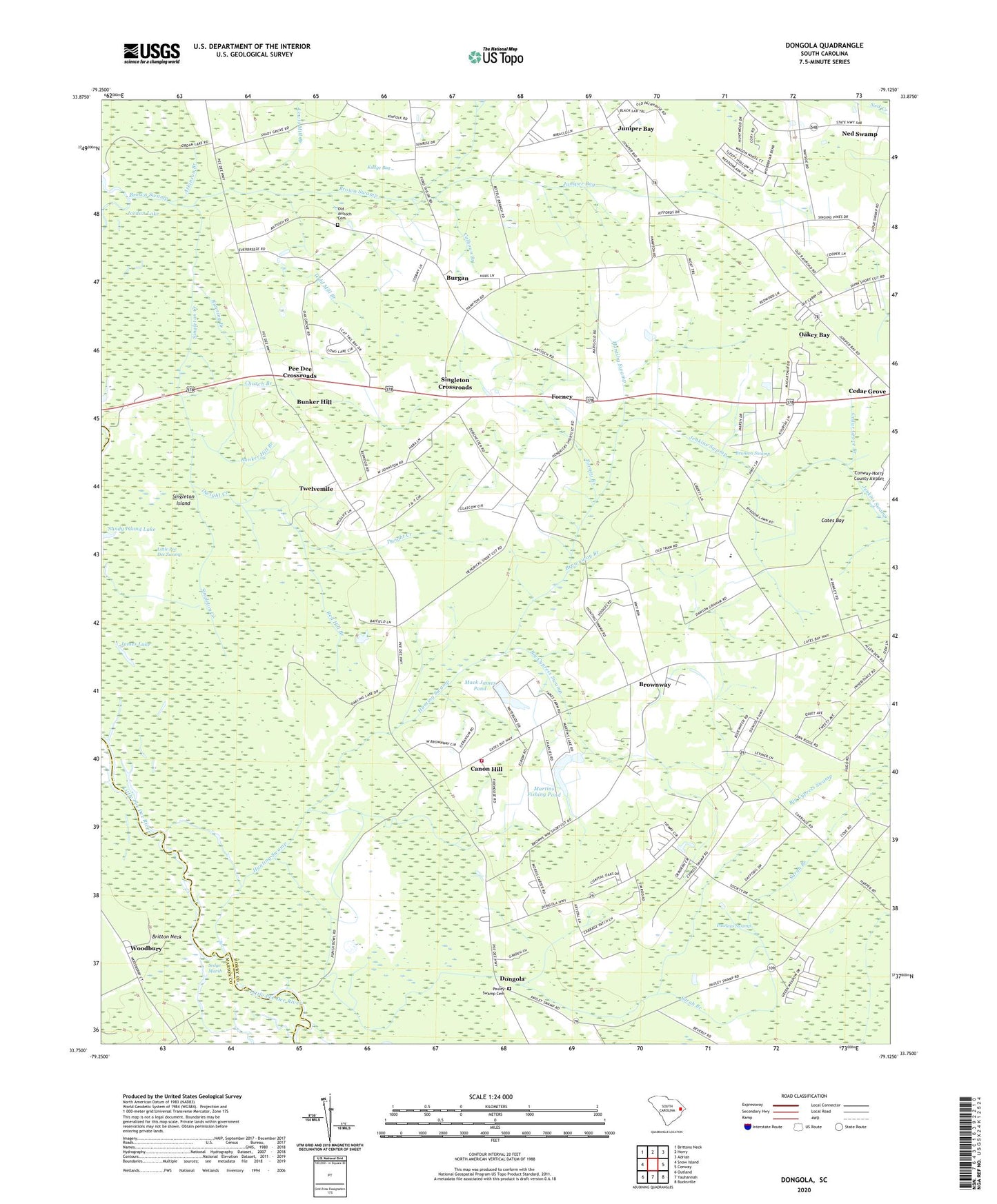
2024 topographic map quadrangle Dongola in the state of South Carolina. Scale: 1:24000. Based on the newly updated USGS 7.5' US Topo map series, this map is in the following counties: Horry, Marion. The map contains contour data, water features, and other items you are used to seeing on USGS maps, but also has updated roads and other features. This is the next generation of topographic maps. Printed on high-quality waterproof paper with UV fade-resistant inks.
Quads adjacent to this one:
West: Snow Island
Northwest: Brittons Neck
North: Horry
Northeast: Adrian
East: Conway
Southeast: Bucksville
South: Yauhannah
Southwest: Outland
This map covers the same area as the classic USGS quad with code o33079g2.
Contains the following named places: Alfred Creek, Antioch Church, Atkinson Branch, Big Cypress Swamp, Boyd Canal, Brown Pond Dam D-3628, Brown Swamp, Browns Church, Brownway, Brownway Branch, Brownway School, Brunson Swamp, Bunker Hill, Bunker Hill Branch, Burgan, Calhoun Branch, Canon Hill, Cates Bay, Cedar Grove Branch, Cedar Grove Church, Church Branch, Davis Branch, Dongola, Dwight Creek, Forney, Forney Branch, Greenwood Church, Guiton Crossing, Hendricks Corner, Horry County Fire Department Station 16, Hunting Swamp, James Creek, James Lake, Jenkins Swamp, Juniper Bay, Juniper Bay Church, Kudge Bay, Lewis Mill Branch, Little Pee Dee Swamp, Mack James Pond, Martin Duck Pond, Martin Duck Pond Dam D-3630, Martins Fishing Pond, Ned Swamp, New Hope Church, Oak Grove Church, Oakey Bay, Oakey Swamp Church, Old Antioch Cemetery, Old Antioch Church, Page Lake, Pauley Swamp Baptist Church, Pauley Swamp Cemetery, Pawleys Swamp, Pawleys Swamp Church, Pawleys Swamp School, Pee Dee Crossroads, Pee Dee Elementary School, Pee Dee School, Punchbowl Landing, Red Hill, Red Hill Branch, Running Branch, Sandy Island Lake, Sarah Branch, Sedge Marsh, Singleton Creek, Singleton Crossroads, Singleton Island, Skippers Chapel, South Carolina Noname 26032 D-3629 Dam, South Carolina Noname 26041 D-3631 Dam, Todd Mill Branch, Twelvemile, Woodbury, ZIP Code: 29527


