MyTopo
Lancaster SE South Carolina US Topo Map
Couldn't load pickup availability
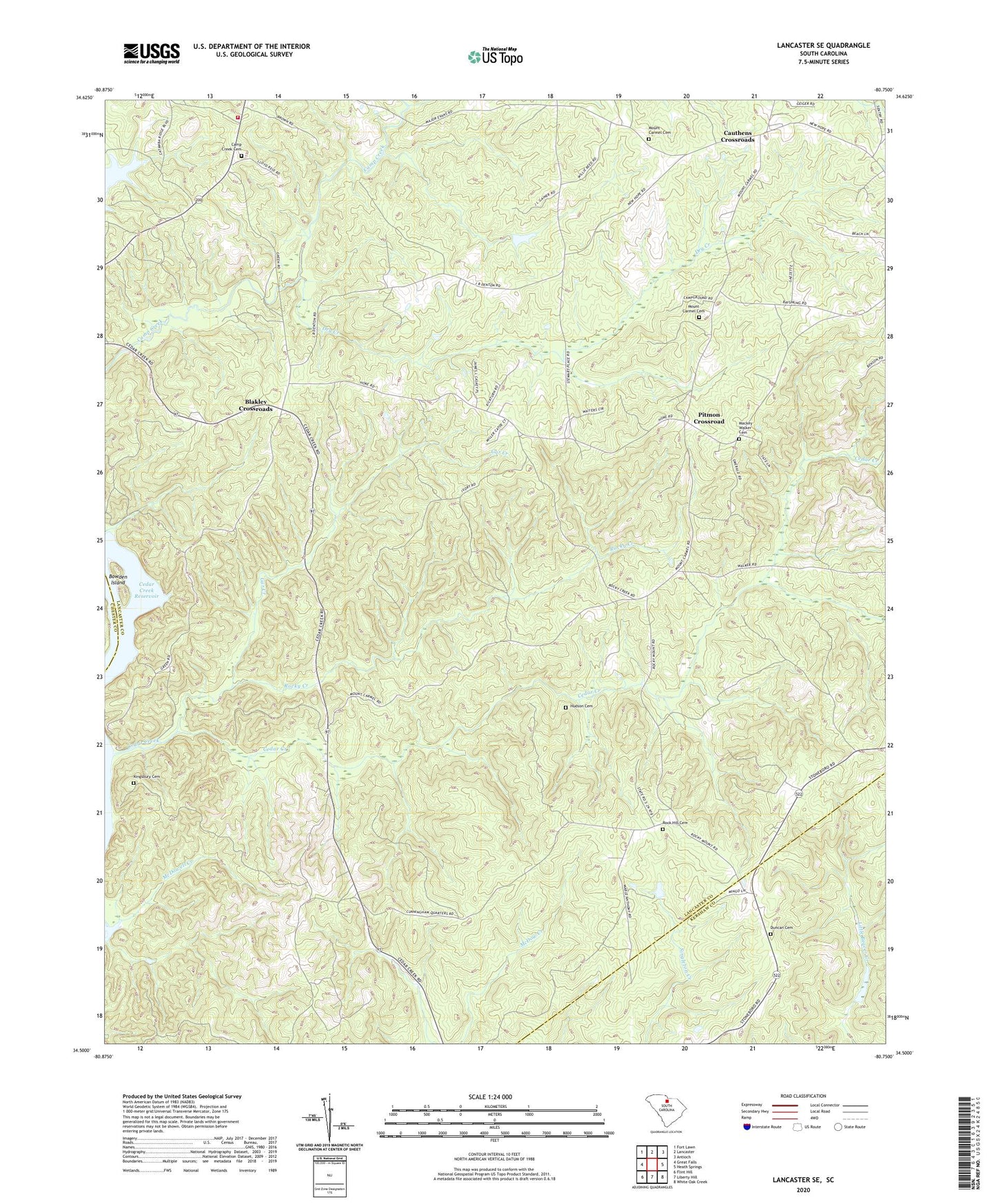
2020 topographic map quadrangle Lancaster SE in the state of South Carolina. Scale: 1:24000. Based on the newly updated USGS 7.5' US Topo map series, this map is in the following counties: Lancaster, Kershaw, Chester. The map contains contour data, water features, and other items you are used to seeing on USGS maps, but also has updated roads and other features. This is the next generation of topographic maps. Printed on high-quality waterproof paper with UV fade-resistant inks.
Quads adjacent to this one:
West: Great Falls
Northwest: Fort Lawn
North: Lancaster
Northeast: Antioch
East: Heath Springs
Southeast: White Oak Creek
South: Liberty Hill
Southwest: Flint Hill
Contains the following named places: Allowance Hall School, Bell Branch, Belltown Fire Department Station 2, Blakley Crossroads, Bowater Camp Creek Pond Dam D-1764, Bowden Island, Camp Creek Cemetery, Camp Creek Church, Carmel Methodist Church, Cauthens Crossroads, Cedar Creek, Cedar Creek Church, Cedar Creek Dam, Cedar Creek School, Cedar Rock Church, Cedar Rock School, Dry Creek, Dry Creek School, Duncan Cemetery, Gar Creek, Gethsemane Church, Hudson Cemetery, Kingsbury, Kingsbury Cemetery, Mackey Walker Cemetery, McDowell Creek, Montgomery School, Mount Carmel Camp Meeting Ground, Mount Carmel Cemetery, Mount Carmel Church, Mount Carmel School, New Hope Church, Pitmon Crossroad, Rock and Cedar Creek Reservoir, Rock Hill Cemetery, Rock Hill Church, Rocky Creek, Saint Pauls Church, Tank School, Warrens Old Muster Ground, Warrington