MyTopo
Lockhart South Carolina US Topo Map
Couldn't load pickup availability
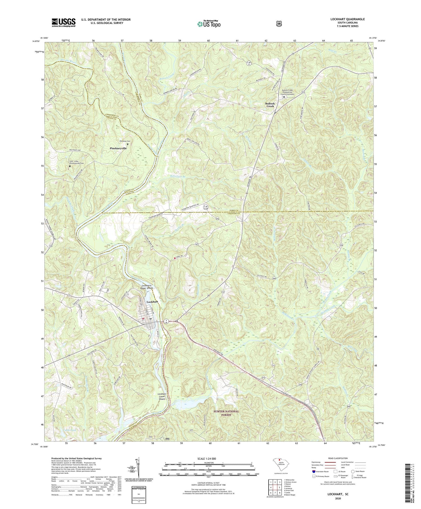
2020 topographic map quadrangle Lockhart in the state of South Carolina. Scale: 1:24000. Based on the newly updated USGS 7.5' US Topo map series, this map is in the following counties: Chester, York, Union, Cherokee. The map contains contour data, water features, and other items you are used to seeing on USGS maps, but also has updated roads and other features. This is the next generation of topographic maps. Printed on high-quality waterproof paper with UV fade-resistant inks.
Quads adjacent to this one:
West: Kelton
Northwest: Wilkinsville
North: Hickory Grove
Northeast: Sharon
East: Armenia
Southeast: Baton Rouge
South: Leeds
Southwest: Union East
Contains the following named places: Bullock Creek, Bullock Creek Presbyterian Church Graveyard, Bullock Creek School, Bullocks Creek Presbyterian Church, Cabal, Cotton, Cross Roads Fire Department, Cross Roads School, Crossroads Church, Cudds Pond, Cudds Pond Dam D-2158, Dry Branch School, Dry Creek, Emmanuel School, Fanning Creek, George Branch, Gist - Giles - Pinckneyville Cemetery, Goods Island, Gould, Hainey School, Lockhart, Lockhart Chapel, Lockhart Dam, Lockhart Elementary School, Lockhart Fire Department, Lockhart High School, Lockhart Lower Shoals, Lockhart Reservoir, Lockharts Canala, Lockharts Upper Shoals, Loves Ford, McKelvey Creek, Mill Creek, Mount Hopewell Church, Mount Pleasant Church, Nelson Creek, New Emanuel Chapel, New Emanuel Chapel Baptist Church Cemetery, No Mans Land, Osborn Branch, Pacolet River, Palmer Branch, Pinckney, Pinckney Cemetery, Pinckney Ferry, Pinckneyville, Pinckneyville Courthouse, Poolus Loop Hunt Camp, Rainey Branch, Red Hill, Red Hill Church, Robertson Branch, Rodens Creek, Saint Luke Baptist Number 2 Church, Susybole Creek, Thompson Ferry, Town of Lockhart, Turkey Creek, ZIP Codes: 29364, 29742