MyTopo
Armenia South Carolina US Topo Map
Couldn't load pickup availability
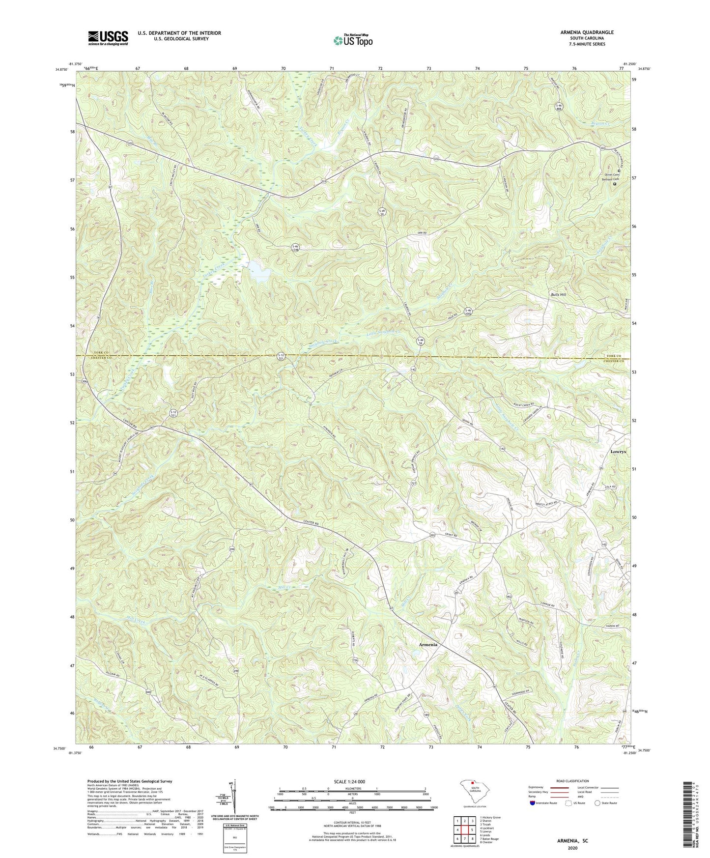
2024 topographic map quadrangle Armenia in the state of South Carolina. Scale: 1:24000. Based on the newly updated USGS 7.5' US Topo map series, this map is in the following counties: Chester, York. The map contains contour data, water features, and other items you are used to seeing on USGS maps, but also has updated roads and other features. This is the next generation of topographic maps. Printed on high-quality waterproof paper with UV fade-resistant inks.
Quads adjacent to this one:
West: Lockhart
Northwest: Hickory Grove
North: Sharon
Northeast: Tirzah
East: Lowrys
Southeast: Chester
South: Baton Rouge
Southwest: Leeds
This map covers the same area as the classic USGS quad with code o34081g3.
Contains the following named places: Armenia, Armenia Church, Armenia School, Bethany Cemetery, Bethany School, Bethlehem Church, Blue Branch, Blue Branch Church, Bryson Creek, Bulls Hill, Calvin, Cedar Grove School, Clarkson, Cotton Hills Farms, Little Susybole Creek, Little Turkey Creek, Mount Pleasant Church, Mount Prospect Church, North Chester School, Old Providence Church, Olive School, Olivet Cemetery, Pleasant Hill Church, Pleasant Hill School, Providence School, Saint Luke Church, Stephenson Farms, Stephensons Turkey Farm, Sunny Day Farm, Unity Church, Unity School, WDZK-FM (Chester)