MyTopo
Old Pickens South Carolina US Topo Map
Couldn't load pickup availability
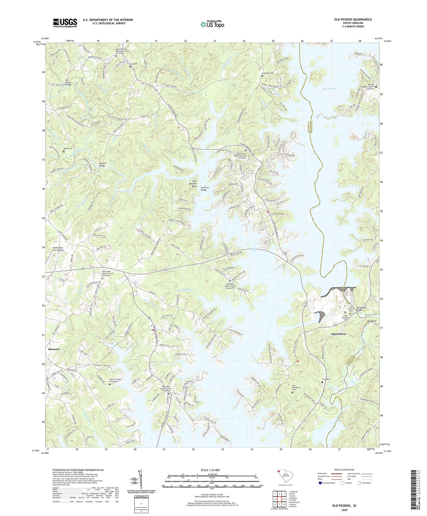
2024 topographic map quadrangle Old Pickens in the state of South Carolina. Scale: 1:24000. Based on the newly updated USGS 7.5' US Topo map series, this map is in the following counties: Oconee, Pickens. The map contains contour data, water features, and other items you are used to seeing on USGS maps, but also has updated roads and other features. This is the next generation of topographic maps. Printed on high-quality waterproof paper with UV fade-resistant inks.
Quads adjacent to this one:
West: Walhalla
Northwest: Tamassee
North: Salem
Northeast: Sunset
East: Six Mile
Southeast: Clemson
South: Seneca
Southwest: Westminster
This map covers the same area as the classic USGS quad with code o34082g8.
Contains the following named places: Barkshed Branch, Beaman Branch, Betty Branch, Big Bend, Big Creek, Boones Creek School, Camp Bottom Branch, Caney Branch, Cary Cemetery, Cater Branch, Cornhouse Creek, Craig Memorial Cemetery, Crow Creek, DAR Monument, Davis Branch, Dogwood Heights, Emerson Bridge, Fernwood Acres, Flat Shoals Bridge, Flat Shoals River, Fork Bottom Bend, Fort George School, Fort Prince George, Frenge Branch, Gap Hill Landing, Hawks Nest Farm Airport, High Falls, High Falls Church, High Falls Church of God Graveyard, Hunnicut Bridge, Isaqueena Cemetery, Isaqueena Church, Isaqueena School Number 1, Isaqueena School Number 2, Kelly Creek, Keowee Baptist Church, Keowee Baptist Church Graveyard, Keowee Ebenezer Fire Department Oconee County Station 11, Keowee Fire Department, Keowee Fire Department Station 2, Keowee High School, Keowee Key Census Designated Place, Keowee School, Lake Keowee, Lakeside Estates, Lakeside Mobile Home Park, Long Branch, Mile Creek, Mile Creek County Park, Mile Creek Landing, Morgan Memorial Church, Mount Sinai Church, Mountain View Church, Mountain View Wesleyan Church Graveyard, Neal Branch, New Foundation Cemetery, New Foundation Church, New Hope Baptist Church, New Hope Baptist Church Graveyard, Nimmons Bridge, Norton School, Oconee Creek, Old New Hope Graveyard, Old Pickens, Old Pickens Bridge, Old Pickens Cemetery, Old Pickens Church, Owens Chapel, Parker Lakes, Robertsons Ford, Rogers Cemetery, Ross Cemetery, Saint Peters Church, Saxony Forest, South Carolina Noname 39017 Dam, Stamp Creek, Stamp Creek Baptist Church, Stamp Creek Baptist Church Graveyard, Sugar Hill, Tanyard Bridge, Todd Branch, Von Hollen Creek, Whetner Branch, Whetstone Creek, White Harbor, Wilson Branch, Wolf Stake Baptist Church, Wolf Stake Baptist Church Graveyard, Yarborough Branch, ZIP Code: 29672