MyTopo
Westville South Carolina US Topo Map
Couldn't load pickup availability
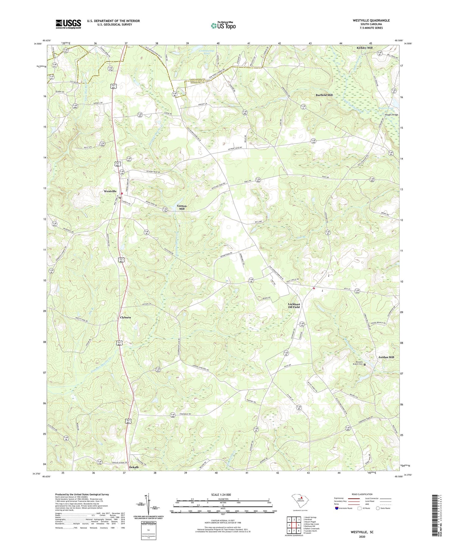
2024 topographic map quadrangle Westville in the state of South Carolina. Scale: 1:24000. Based on the newly updated USGS 7.5' US Topo map series, this map is in the following counties: Kershaw, Lancaster. The map contains contour data, water features, and other items you are used to seeing on USGS maps, but also has updated roads and other features. This is the next generation of topographic maps. Printed on high-quality waterproof paper with UV fade-resistant inks.
Quads adjacent to this one:
West: White Oak Creek
Northwest: Heath Springs
North: Kershaw
Northeast: Mount Pisgah
East: Bethune NW
Southeast: Cassatt
South: Camden North
Southwest: Rabon Crossroads
This map covers the same area as the classic USGS quad with code o34080d5.
Contains the following named places: Barfield Mill, Baron DeKalb High School, Baron DeKalb School, Belmont Baptist Church, Bethany Church, Bowers Pond, Bowers Pond Dam D-2499, Campbells Mill, Campbells Plantation, Church of God, Clyburn, Damascus Church, Dekalb, Dekalb Baptist Church, Gaston Mill, Gates Ford Branch, George West Pond, George West Pond Dam D-1332, Houghs Bridge, Jordan Mill, Kershaw Airport, Kershaw County Fire Department North Central Station, Kershaw County Fire Department Westville Station, Kirkley Mill, Lindenzwiegs Pond, Lockhart Church, Lockhart Oil Field, Lockhart School, Long Branch Church, McLeans Branch Cemetery, North Central High School, Oak Ridge Church, Oakridge School, Refuge Church, Truesdale School, Westville, Westville Lookout Tower, Westville School, ZIP Code: 29175