
MyTopo
Antelope Island South Dakota US Topo Map
Couldn't load pickup availability
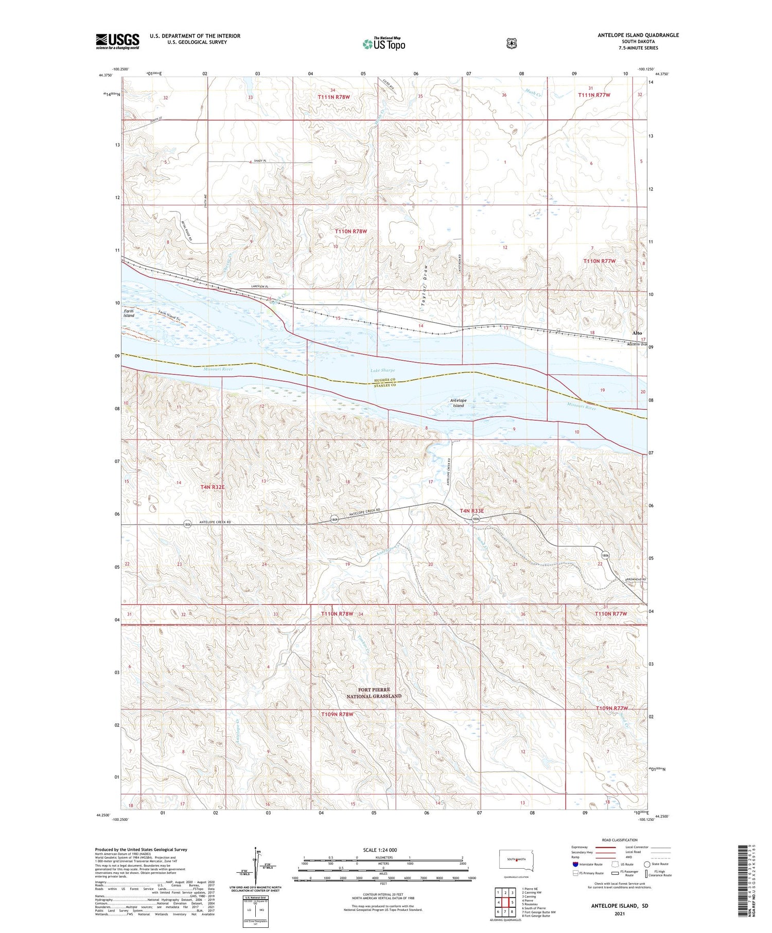
2021 topographic map quadrangle Antelope Island in the state of South Dakota. Scale: 1:24000. Based on the newly updated USGS 7.5' US Topo map series, this map is in the following counties: Stanley, Hughes. The map contains contour data, water features, and other items you are used to seeing on USGS maps, but also has updated roads and other features. This is the next generation of topographic maps. Printed on high-quality waterproof paper with UV fade-resistant inks.
Quads adjacent to this one:
West: Pierre
Northwest: Pierre NE
North: Canning NW
Northeast: Canning
East: Rousseau
Southeast: Fort George Butte
South: Fort George Butte NW
Southwest: South of Pierre
Contains the following named places: Alto, Antelope Creek, Antelope Creek Recreation Area, Antelope Island, Arikara Creek, Cherry Creek, Hipple Lake, Mush Creek, Sand Creek, Taylor Draw, Timber Creek


