MyTopo
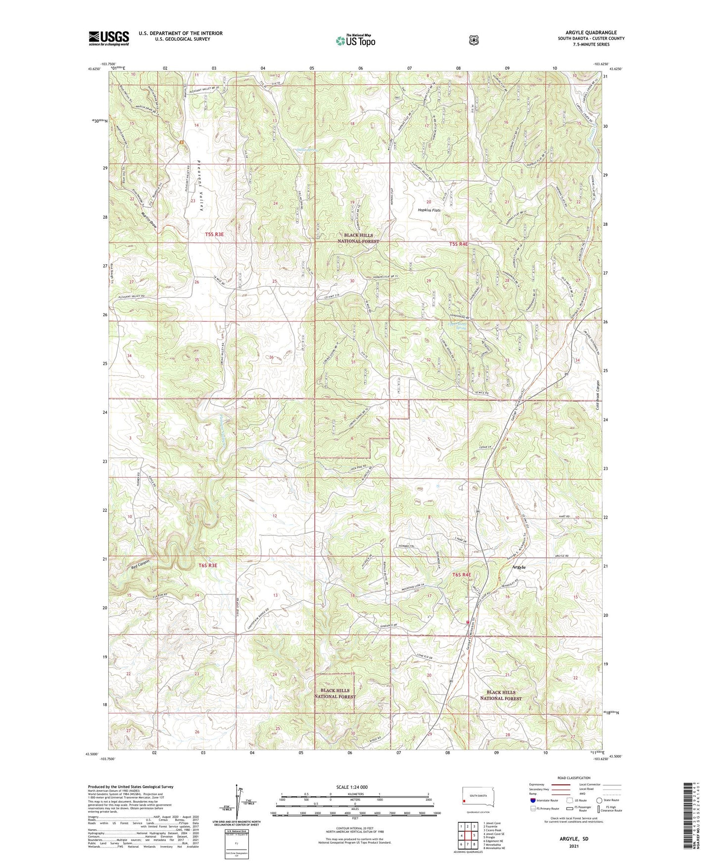
Argyle South Dakota US Topo Map
Couldn't load pickup availability
Also explore the Argyle Forest Service Topo of this same quad for updated USFS data
2021 topographic map quadrangle Argyle in the state of South Dakota. Scale: 1:24000. Based on the newly updated USGS 7.5' US Topo map series, this map is in the following counties: Custer. The map contains contour data, water features, and other items you are used to seeing on USGS maps, but also has updated roads and other features. This is the next generation of topographic maps. Printed on high-quality waterproof paper with UV fade-resistant inks.
Quads adjacent to this one:
West: Jewel Cave SE
Northwest: Jewel Cave
North: Fourmile
Northeast: Cicero Peak
East: Pringle
Southeast: Minnekahta NE
South: Minnekahta
Southwest: Edgemont NE
This map covers the same area as the classic USGS quad with code o43103e6.
Contains the following named places: Argyle, Argyle Fire Department, Argyle School, Carroll Creek, Carter Ranch, Dallan Spring, Dean Ranch, Eighteen Mile Ranch, Hopkins Flats, Loring Siding, Martin Draw, McClures Ranch, Nicolls Ranch, Pleasant Valley, Pleasant Valley Creek, Pleasant Valley School, Richmond Ranch, Snyders Ranch, Stringham Ranch, Two Bit Mine, Upper Hand Spring, Waisnan Ranch