MyTopo
Ashton South Dakota US Topo Map
Couldn't load pickup availability
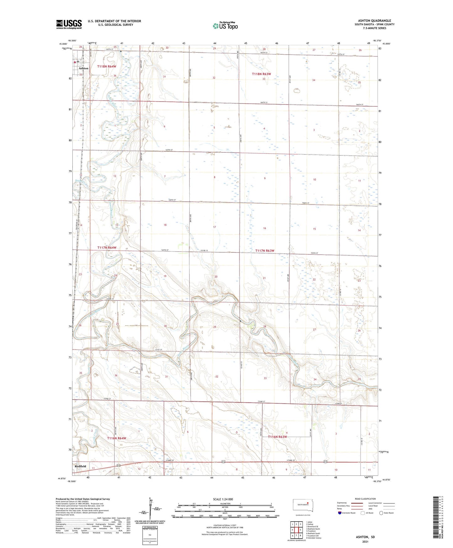
2021 topographic map quadrangle Ashton in the state of South Dakota. Scale: 1:24000. Based on the newly updated USGS 7.5' US Topo map series, this map is in the following counties: Spink. The map contains contour data, water features, and other items you are used to seeing on USGS maps, but also has updated roads and other features. This is the next generation of topographic maps. Printed on high-quality waterproof paper with UV fade-resistant inks.
Quads adjacent to this one:
West: Redfield North
Northwest: Athol
North: Gallup
Northeast: Brentford SE
East: Frankfort
Southeast: Glendale Colony
South: Frankfort SW
Southwest: Redfield South
This map covers the same area as the classic USGS quad with code o44098h4.
Contains the following named places: Ashton, Ashton Fire Department, Ashton Post Office, Brink School, City of Ashton, Deiter Landing Strip, Devorak School, Halls Picnic Ground, Johnson School Number 5, Kieser School Number 7, Kurtz School, Leesch School, Old Ashton, School Number 4, Snake Creek, Steichen School Number 3, Township of Great Bend, Turtle Creek, Zell School