MyTopo
Frankfort South Dakota US Topo Map
Couldn't load pickup availability
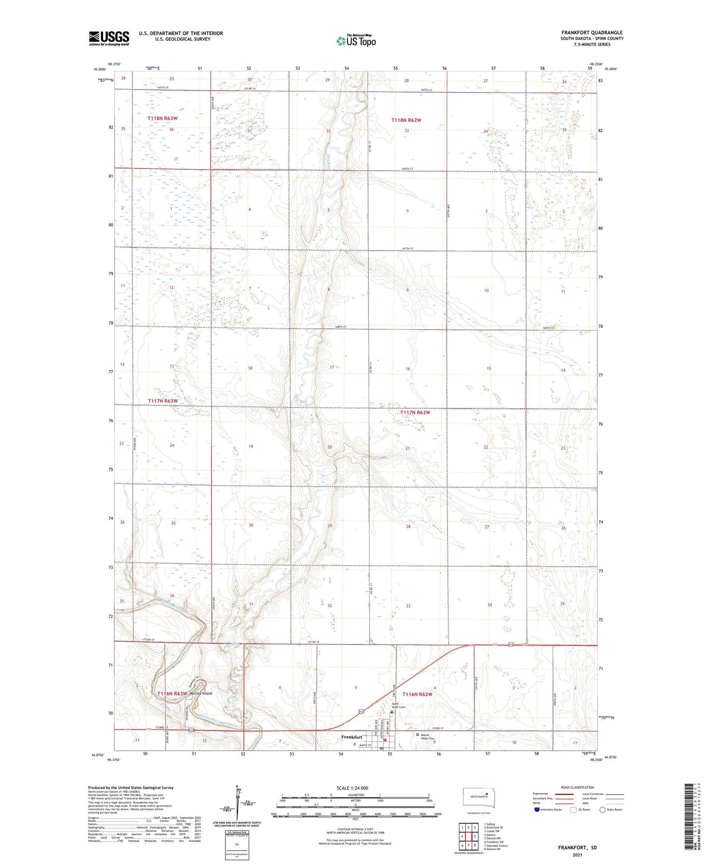
2021 topographic map quadrangle Frankfort in the state of South Dakota. Scale: 1:24000. Based on the newly updated USGS 7.5' US Topo map series, this map is in the following counties: Spink. The map contains contour data, water features, and other items you are used to seeing on USGS maps, but also has updated roads and other features. This is the next generation of topographic maps. Printed on high-quality waterproof paper with UV fade-resistant inks.
Quads adjacent to this one:
West: Ashton
Northwest: Gallup
North: Brentford SE
Northeast: Conde SW
East: Doland NW
Southeast: Doland SW
South: Glendale Colony
Southwest: Frankfort SW
This map covers the same area as the classic USGS quad with code o44098h3.
Contains the following named places: Anderson School, Berg School Number 6, City of Frankfort, Clifton School, Craig School, Dry Run, Fisher Grove, Frankfort, Frankfort Fire Department, Frankfort Post Office, Grobe, Grobe Post Office, Motley Island, Mount Hope Cemetery, Saint Anne Cemetery, Solheim School, Spink County, Township of Harmony, Wiles School