MyTopo
Bams Butte NW South Dakota US Topo Map
Couldn't load pickup availability
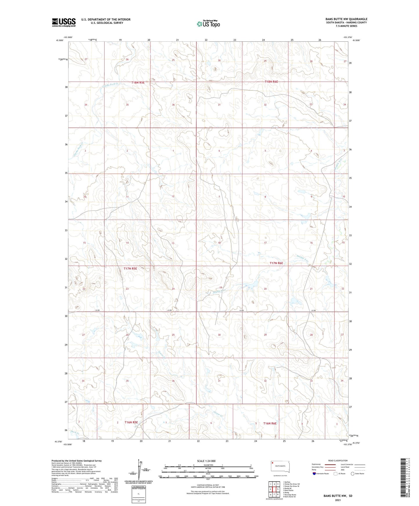
2021 topographic map quadrangle Bams Butte NW in the state of South Dakota. Scale: 1:24000. Based on the newly updated USGS 7.5' US Topo map series, this map is in the following counties: Harding. The map contains contour data, water features, and other items you are used to seeing on USGS maps, but also has updated roads and other features. This is the next generation of topographic maps. Printed on high-quality waterproof paper with UV fade-resistant inks.
Quads adjacent to this one:
West: Redig NE
Northwest: Buffalo
North: Sheep Pen Draw SW
Northeast: Sheep Pen Draw SE
East: Bams Butte
Southeast: Bams Butte SE
South: Roundup Butte
Southwest: Redig
This map covers the same area as the classic USGS quad with code o45103d4.
Contains the following named places: Dead Buffalo Dam, Dry Hole Dam, Leo Ruona Pond Number 1 Dam, Little Pond Dam, Stinking Buffalo Dam