MyTopo
Batesland South Dakota US Topo Map
Couldn't load pickup availability
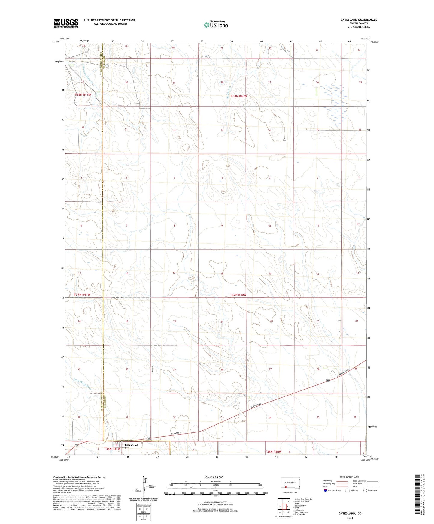
2021 topographic map quadrangle Batesland in the state of South Dakota. Scale: 1:24000. Based on the newly updated USGS 7.5' US Topo map series, this map is in the following counties: Bennett, Oglala Lakota. The map contains contour data, water features, and other items you are used to seeing on USGS maps, but also has updated roads and other features. This is the next generation of topographic maps. Printed on high-quality waterproof paper with UV fade-resistant inks.
Quads adjacent to this one:
West: Batesland NW
Northwest: Yellow Bear Camp SW
North: Yellow Bear Camp
Northeast: Allen
East: Swett
Southeast: Ecoffey Lake
South: Two Lance Lake
Southwest: Wakpamani
This map covers the same area as the classic USGS quad with code k43102b1.
Contains the following named places: Batesland, Batesland Elementary School, Batesland Fire Volunteer Fire Department, Batesland Post Office, Shannon County Virtual High School, Town of Batesland