MyTopo
Beresford NW South Dakota US Topo Map
Couldn't load pickup availability
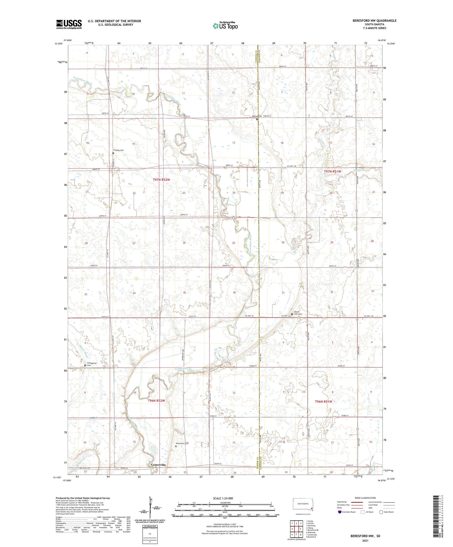
2021 topographic map quadrangle Beresford NW in the state of South Dakota. Scale: 1:24000. Based on the newly updated USGS 7.5' US Topo map series, this map is in the following counties: Turner, Lincoln. The map contains contour data, water features, and other items you are used to seeing on USGS maps, but also has updated roads and other features. This is the next generation of topographic maps. Printed on high-quality waterproof paper with UV fade-resistant inks.
Quads adjacent to this one:
West: Viborg
Northwest: Hurley
North: Lennox
Northeast: Worthing
East: Beresford NE
Southeast: Beresford
South: Centerville
Southwest: Wakonda
Contains the following named places: Ash Grove School, Evangelical Cemetery, Faith School, Frieling Cemetery, Gunderson Park, Kidder, Long Creek, Melhus Cemetery, Morning Star School, Mount Zion Cemetery, Mount Zion Church, Pleasant Grove School, Riverview Cemetery, Saddle Creek, Township of Centerville, Township of Hooker, Township of Turner, Turner