MyTopo
Bison South Dakota US Topo Map
Couldn't load pickup availability
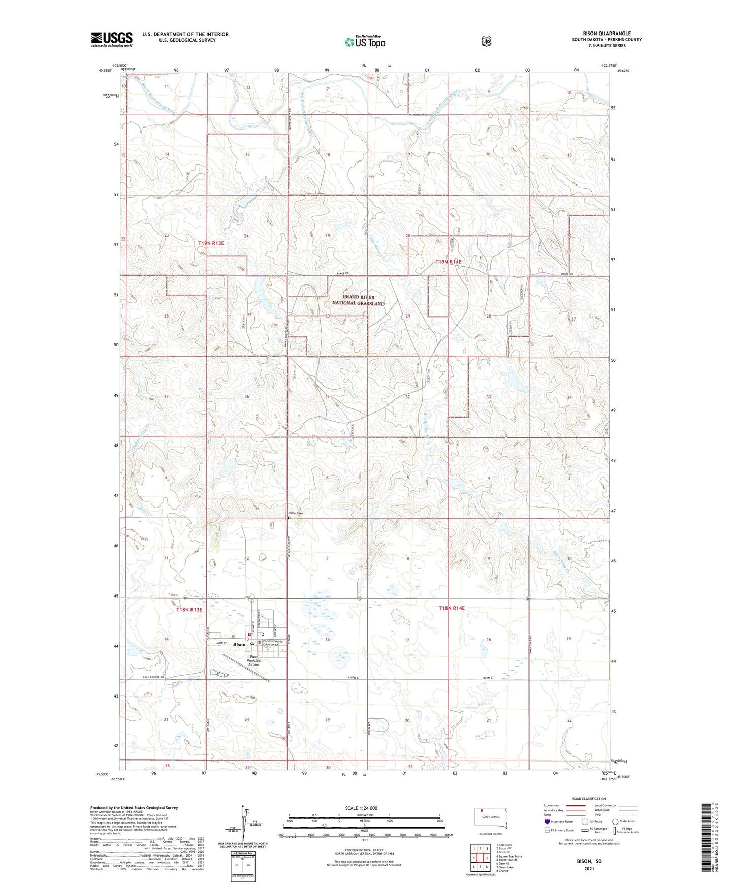
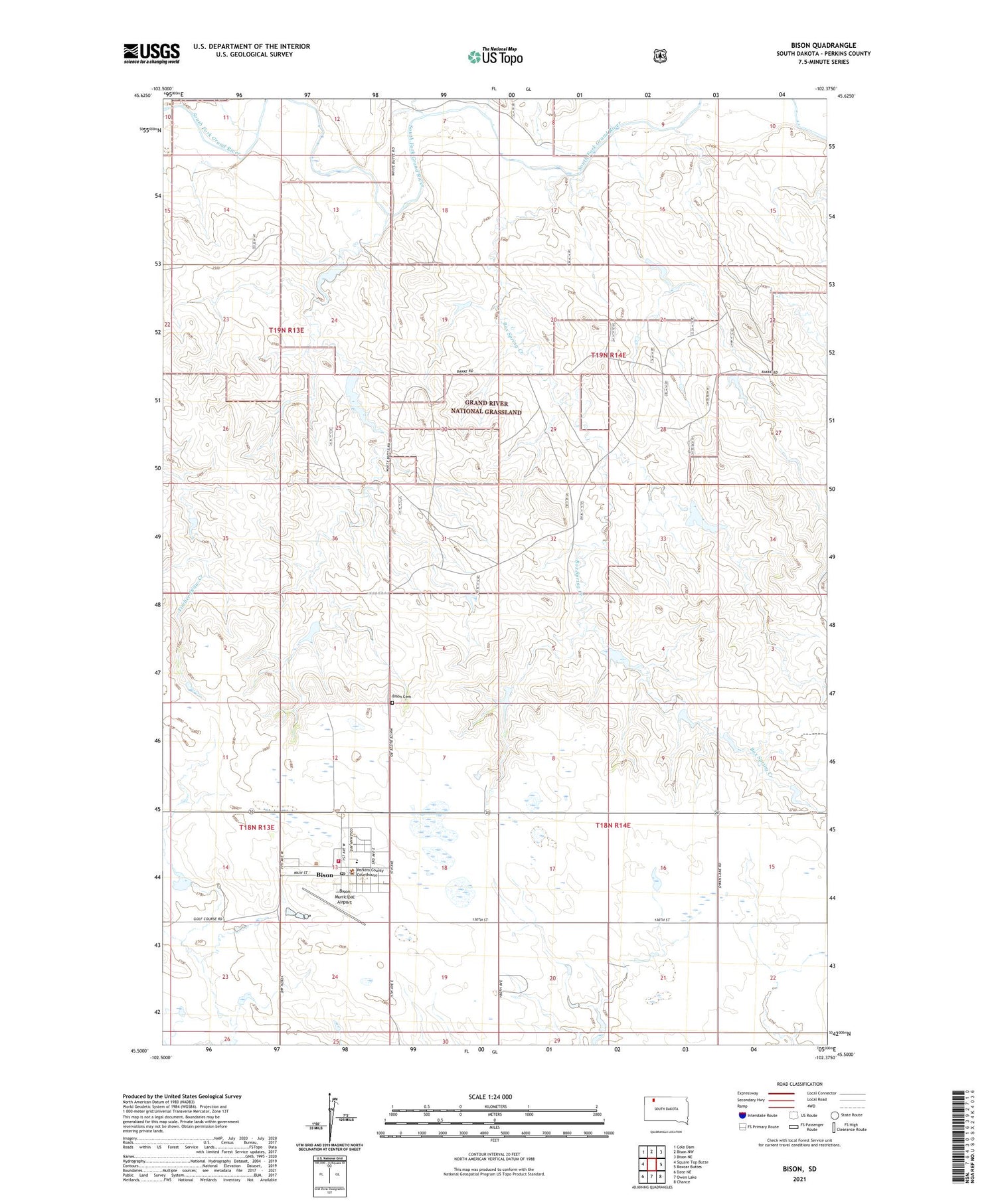
2021 topographic map quadrangle Bison in the state of South Dakota. Scale: 1:24000. Based on the newly updated USGS 7.5' US Topo map series, this map is in the following counties: Perkins. The map contains contour data, water features, and other items you are used to seeing on USGS maps, but also has updated roads and other features. This is the next generation of topographic maps. Printed on high-quality waterproof paper with UV fade-resistant inks.
Quads adjacent to this one:
West: Square Top Butte
Northwest: Cole Dam
North: Bison NW
Northeast: Bison NE
East: Boxcar Buttes
Southeast: Chance
South: Owen Lake
Southwest: Date NE
Contains the following named places: Bison, Bison Cemetery, Bison Elementary School, Bison High School, Bison Junior High School, Bison Municipal Airport, Bison Police Department, Bison Post Office, Bison Public Library, Bison Volunteer Fire Department, Box Spring Creek, Jenson Dam, Mario Johnson Dam, Marlo Johnson Dam, Morris Jensen Dam, Perkins County Ambulance Service Bison, Perkins County Courthouse, Perkins County Sheriff's Office, Rainbow School, Town of Bison, Township of Marshfield, Township of Rainbow