MyTopo
Canova West South Dakota US Topo Map
Couldn't load pickup availability
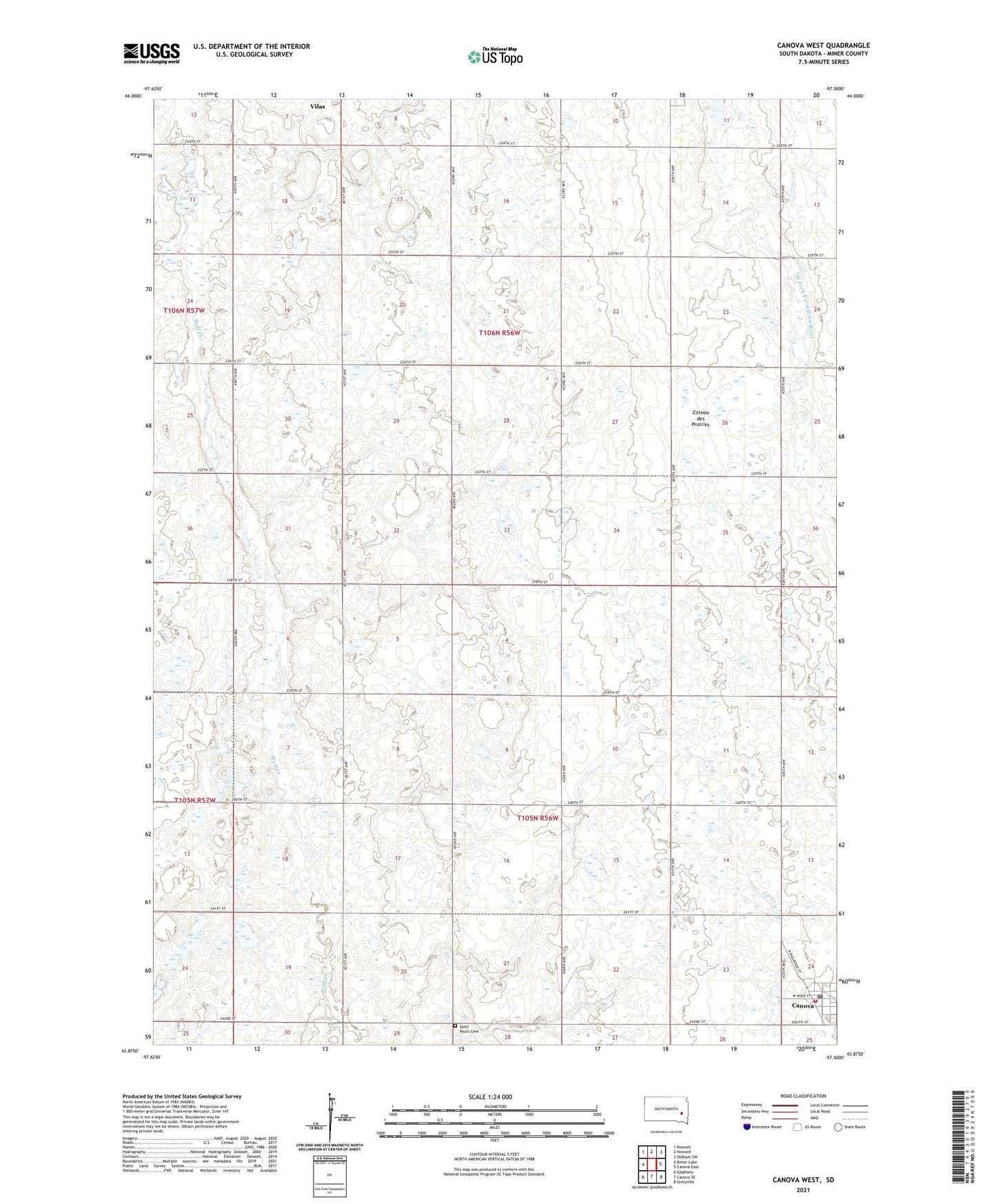
2021 topographic map quadrangle Canova West in the state of South Dakota. Scale: 1:24000. Based on the newly updated USGS 7.5' US Topo map series, this map is in the following counties: Miner. The map contains contour data, water features, and other items you are used to seeing on USGS maps, but also has updated roads and other features. This is the next generation of topographic maps. Printed on high-quality waterproof paper with UV fade-resistant inks.
Quads adjacent to this one:
West: Bitter Lake
Northwest: Roswell
North: Howard
Northeast: Oldham SW
East: Canova East
Southeast: Unityville
South: Canova SE
Southwest: Epiphany
This map covers the same area as the classic USGS quad with code o43097h5.
Contains the following named places: Canova, Canova Fire Department, Canova Post Office, Saint Paul's Cemetery, Town of Canova, Township of Canova, Township of Howard, Township of Ziskov