
MyTopo
Cedar Canyon South Dakota US Topo Map
Couldn't load pickup availability
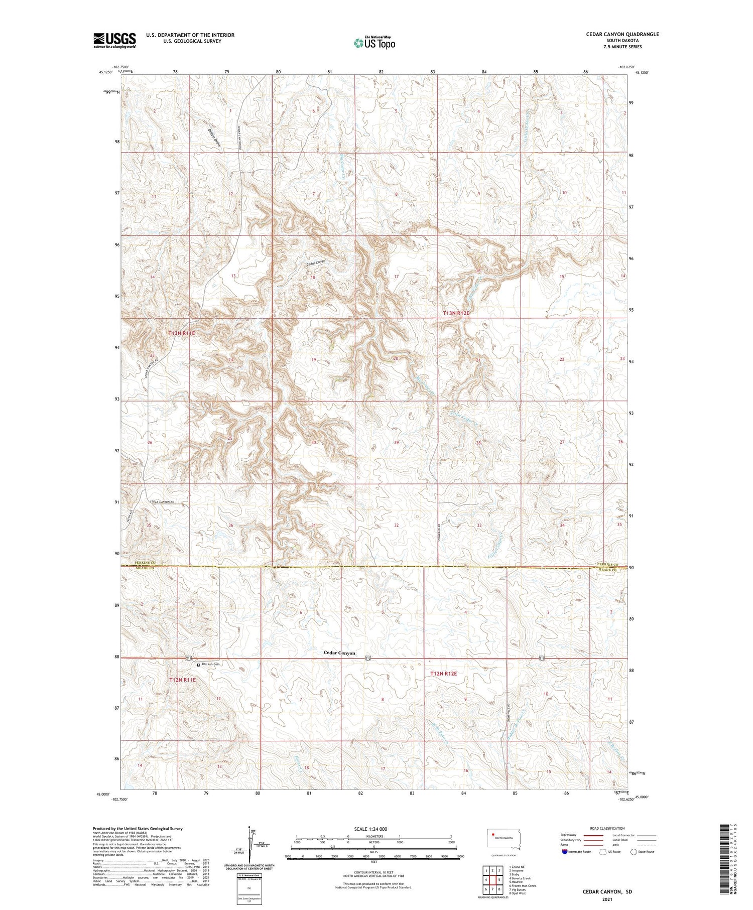
2021 topographic map quadrangle Cedar Canyon in the state of South Dakota. Scale: 1:24000. Based on the newly updated USGS 7.5' US Topo map series, this map is in the following counties: Perkins, Meade. The map contains contour data, water features, and other items you are used to seeing on USGS maps, but also has updated roads and other features. This is the next generation of topographic maps. Printed on high-quality waterproof paper with UV fade-resistant inks.
Quads adjacent to this one:
West: Beverly Creek
Northwest: Zeona NE
North: Imogene
Northeast: Bixby
East: Maurine
Southeast: Opal West
Southwest: Frozen Man Creek
Contains the following named places: Ben Ash Cemetery, Ben Ash Historical Monument, Cedar Canyon, Horse Butte School, Prairie Home Church, Township of Mildrew, Unorganized Territory of Mildrew, White Ranch Dam


