MyTopo
Beverly Creek South Dakota US Topo Map
Couldn't load pickup availability
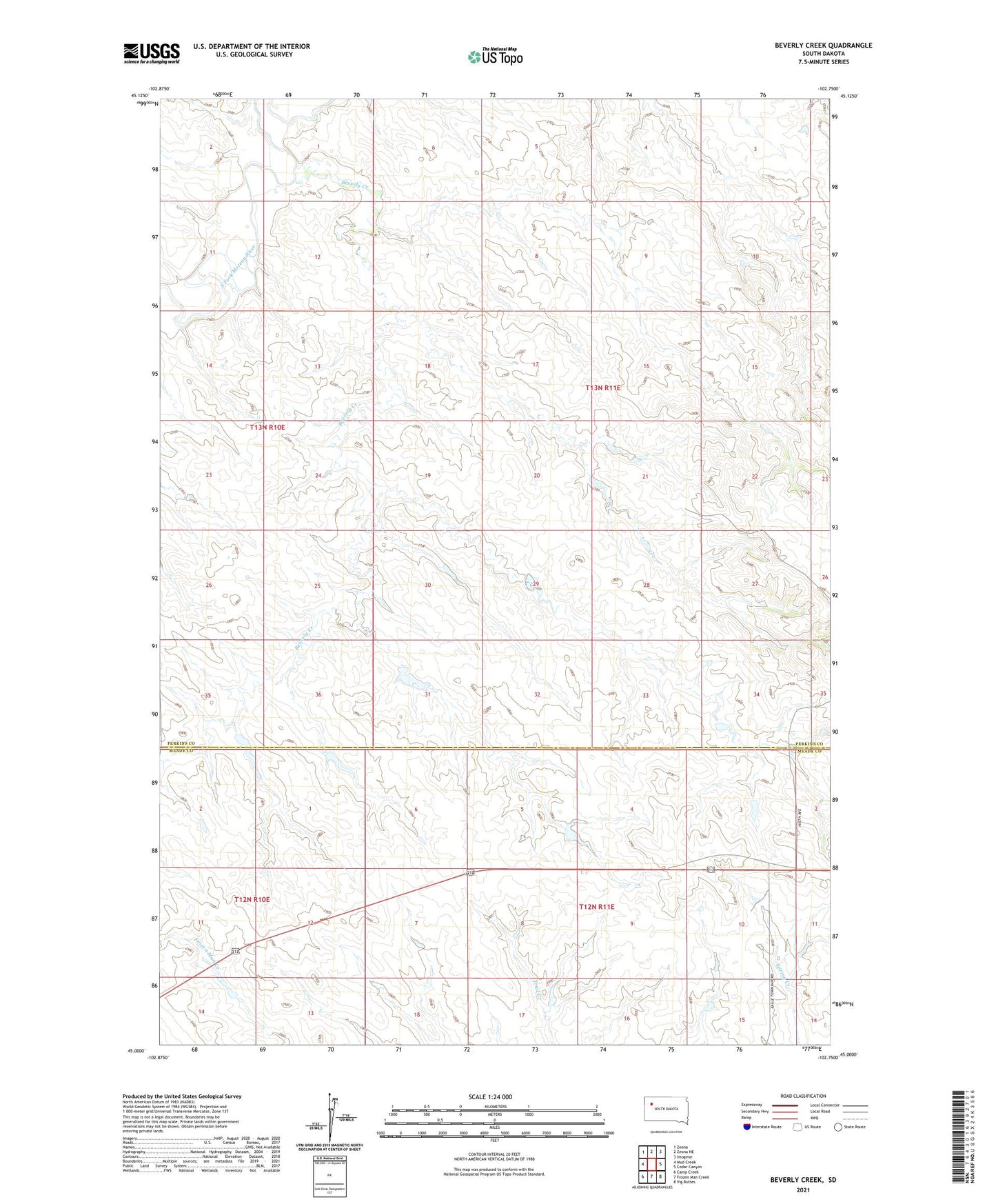
2021 topographic map quadrangle Beverly Creek in the state of South Dakota. Scale: 1:24000. Based on the newly updated USGS 7.5' US Topo map series, this map is in the following counties: Perkins, Meade. The map contains contour data, water features, and other items you are used to seeing on USGS maps, but also has updated roads and other features. This is the next generation of topographic maps. Printed on high-quality waterproof paper with UV fade-resistant inks.
Quads adjacent to this one:
West: Mud Creek
Northwest: Zeona
North: Zeona NE
Northeast: Imogene
East: Cedar Canyon
South: Frozen Man Creek
Southwest: Camp Creek
This map covers the same area as the classic USGS quad with code k45102a7.
Contains the following named places: Beverly Creek, Clarence Goff Dam, Earl Pullins Dam, McLuin Seymour Dam, Robert Schuelke Dam, Rose Karnen Dam, Shirley Miller Dam, Township of Vrooman, Walt Crawford Dam