MyTopo
Clear Lake South South Dakota US Topo Map
Couldn't load pickup availability
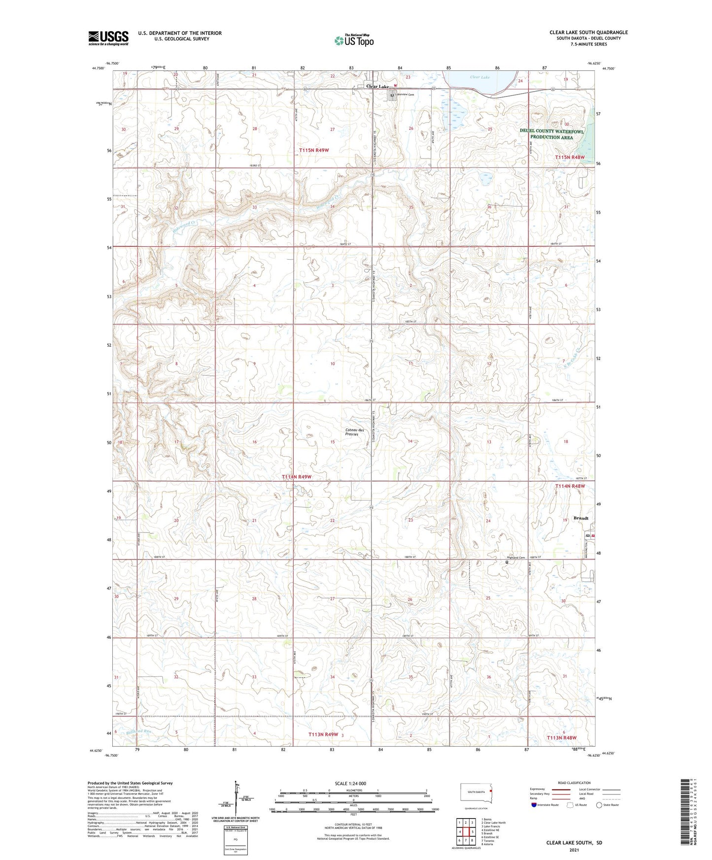
2021 topographic map quadrangle Clear Lake South in the state of South Dakota. Scale: 1:24000. Based on the newly updated USGS 7.5' US Topo map series, this map is in the following counties: Deuel. The map contains contour data, water features, and other items you are used to seeing on USGS maps, but also has updated roads and other features. This is the next generation of topographic maps. Printed on high-quality waterproof paper with UV fade-resistant inks.
Quads adjacent to this one:
West: Estelline NE
Northwest: Bemis
North: Clear Lake North
Northeast: Lake Francis
East: Brandt
Southeast: Astoria
South: Toronto
Southwest: Estelline SE
This map covers the same area as the classic USGS quad with code o44096f6.
Contains the following named places: Antelope Valley School, Brandt Post Office, Brandt Volunteer Fire Department, Clear Lake, Clear Lake Volunteer Fire Department, Highland Cemetery, Lakeview Cemetery, Norman School, Norwegian Lutheran Church, Sunnyside School, Togstad Post Office, Town of Brandt, Township of Brandt, Township of Clear Lake, Willow Row School