MyTopo
Faith NE South Dakota US Topo Map
Couldn't load pickup availability
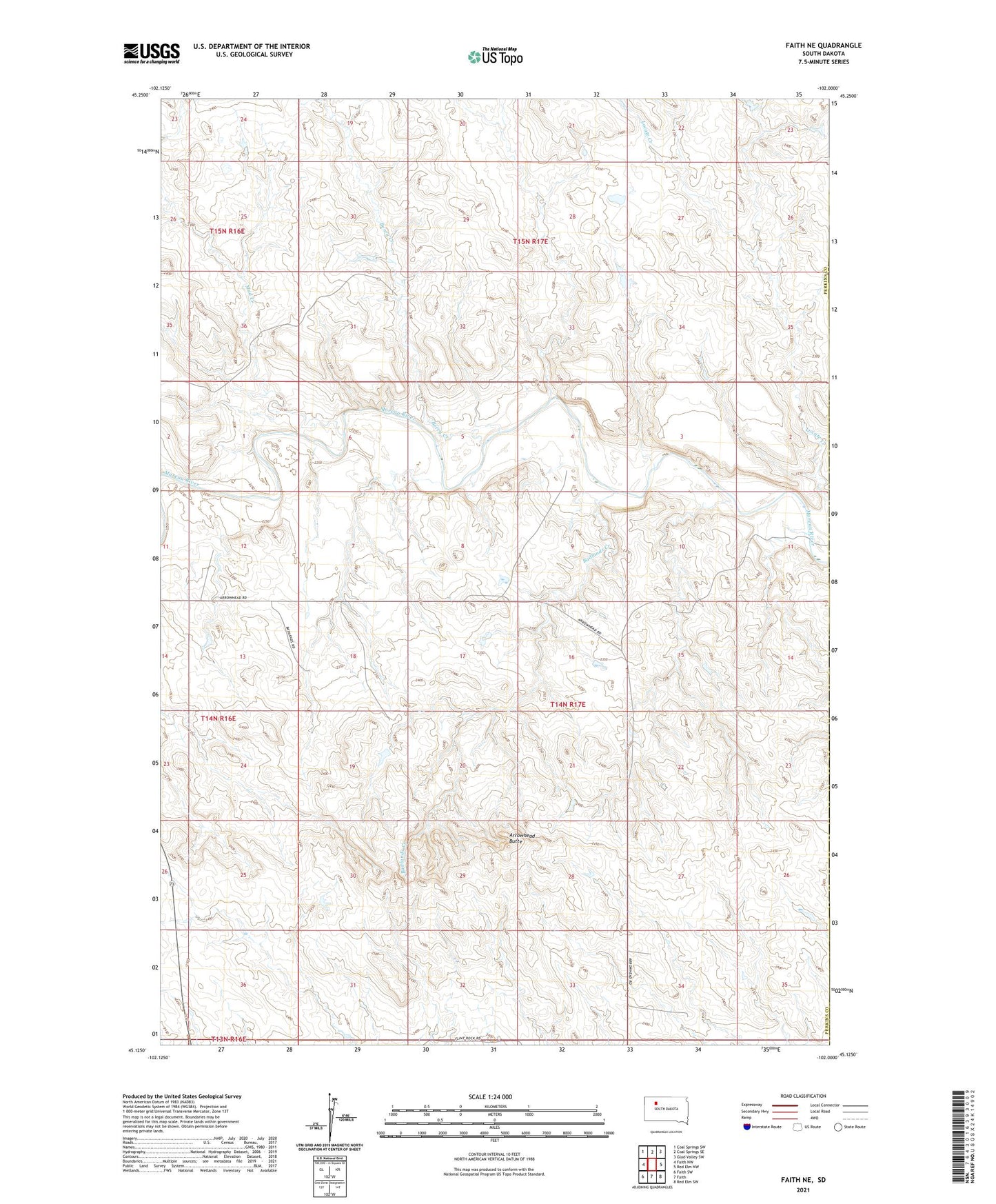
2021 topographic map quadrangle Faith NE in the state of South Dakota. Scale: 1:24000. Based on the newly updated USGS 7.5' US Topo map series, this map is in the following counties: Perkins, Ziebach. The map contains contour data, water features, and other items you are used to seeing on USGS maps, but also has updated roads and other features. This is the next generation of topographic maps. Printed on high-quality waterproof paper with UV fade-resistant inks.
Quads adjacent to this one:
West: Faith NW
Northwest: Coal Springs SW
North: Coal Springs SE
Northeast: Glad Valley SW
East: Red Elm NW
Southeast: Red Elm SW
South: Faith
Southwest: Faith SW
This map covers the same area as the classic USGS quad with code o45102b1.
Contains the following named places: Arrowhead Butte, Arrowhead School, Badlands Creek, Escott Brothers Dam, Mud Creek, Township of Arrowhead, Unorganized Territory of Arrowhead