MyTopo
Frozen Man Creek South Dakota US Topo Map
Couldn't load pickup availability
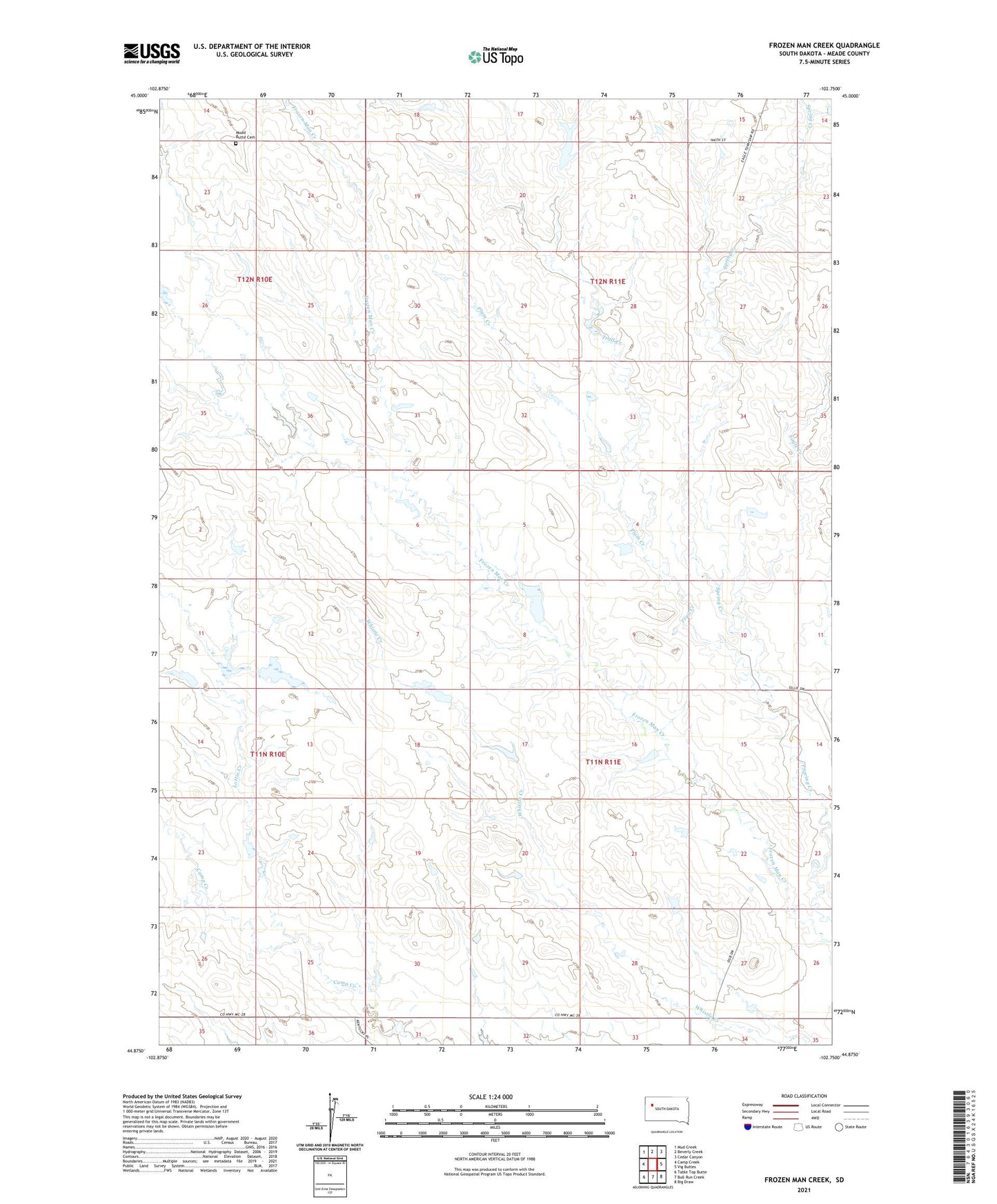
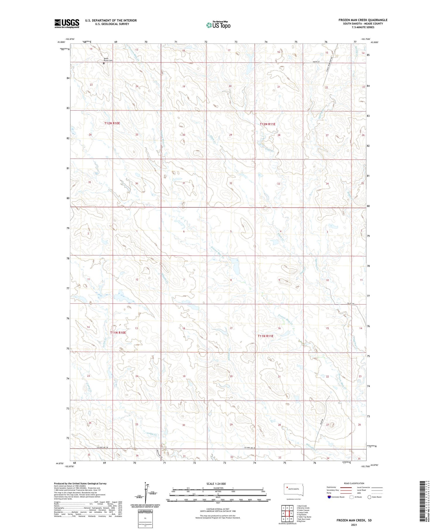
2021 topographic map quadrangle Frozen Man Creek in the state of South Dakota. Scale: 1:24000. Based on the newly updated USGS 7.5' US Topo map series, this map is in the following counties: Meade. The map contains contour data, water features, and other items you are used to seeing on USGS maps, but also has updated roads and other features. This is the next generation of topographic maps. Printed on high-quality waterproof paper with UV fade-resistant inks.
Quads adjacent to this one:
West: Camp Creek
Northwest: Mud Creek
North: Beverly Creek
Northeast: Cedar Canyon
Southeast: Big Draw
South: Bull Run Creek
Southwest: Table Top Butte
Contains the following named places: Eagle Creek, Jordan Mundil Dam, Lottie Creek, Mudd Butte Cemetery, Ollie Stomprud Dam, Plum Creek, Squaw Butte School, Ted Olson Dam, Township of Eagle, Trail Creek, William Olson Dam, ZIP Code: 57758