MyTopo
Mud Creek South Dakota US Topo Map
Couldn't load pickup availability
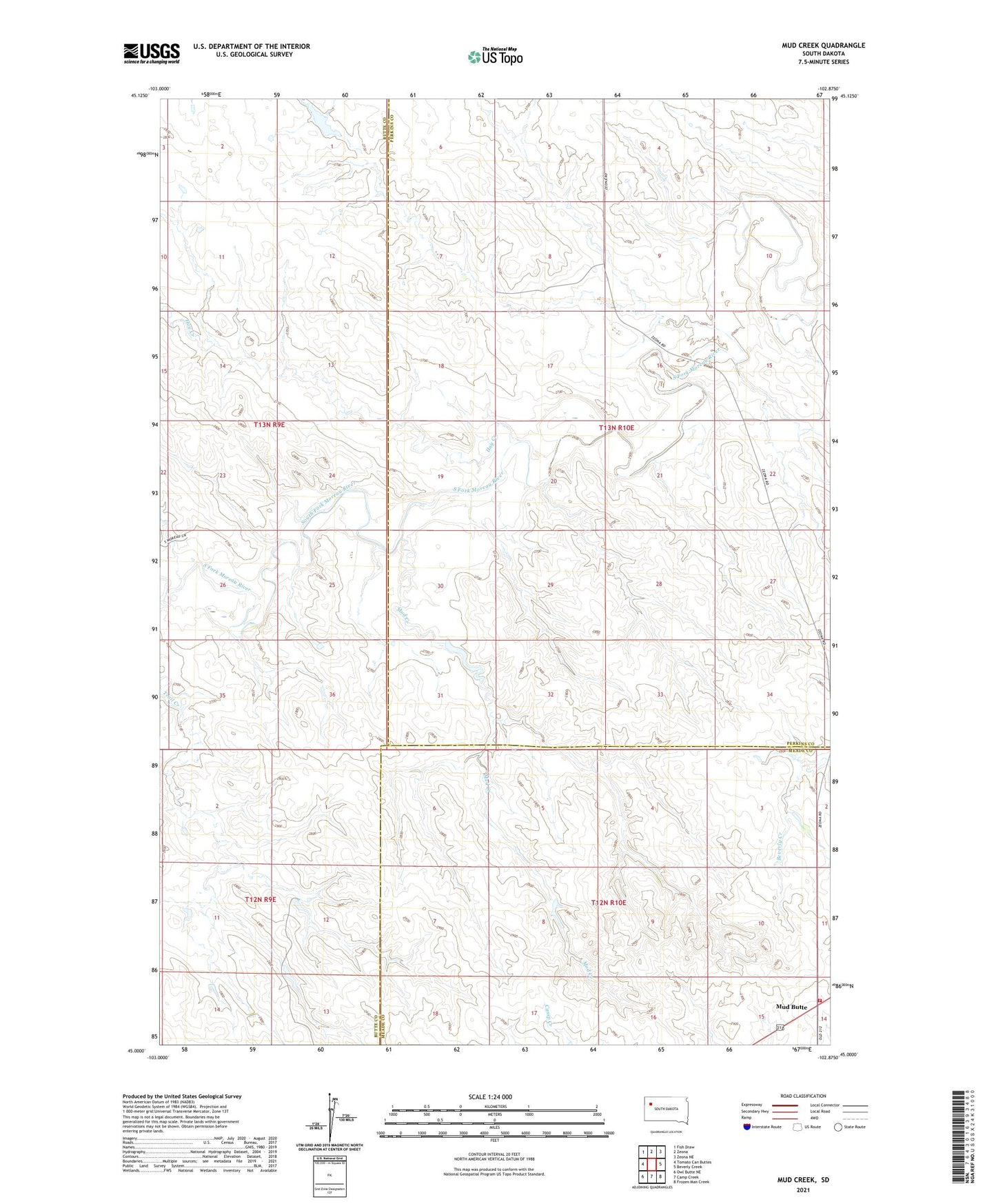
2021 topographic map quadrangle Mud Creek in the state of South Dakota. Scale: 1:24000. Based on the newly updated USGS 7.5' US Topo map series, this map is in the following counties: Perkins, Butte, Meade. The map contains contour data, water features, and other items you are used to seeing on USGS maps, but also has updated roads and other features. This is the next generation of topographic maps. Printed on high-quality waterproof paper with UV fade-resistant inks.
Quads adjacent to this one:
West: Tomato Can Buttes
Northwest: Fish Draw
North: Zeona
Northeast: Zeona NE
East: Beverly Creek
Southeast: Frozen Man Creek
South: Camp Creek
Southwest: Owl Butte NE
Contains the following named places: Christ Orwick Dam, Frank Ruby Dam, Hay Creek, Mud Butte, Mud Butte Fire Department, Mud Creek, Oscar Orwick Dam, Trail Creek