MyTopo
Gannvalley South Dakota US Topo Map
Couldn't load pickup availability
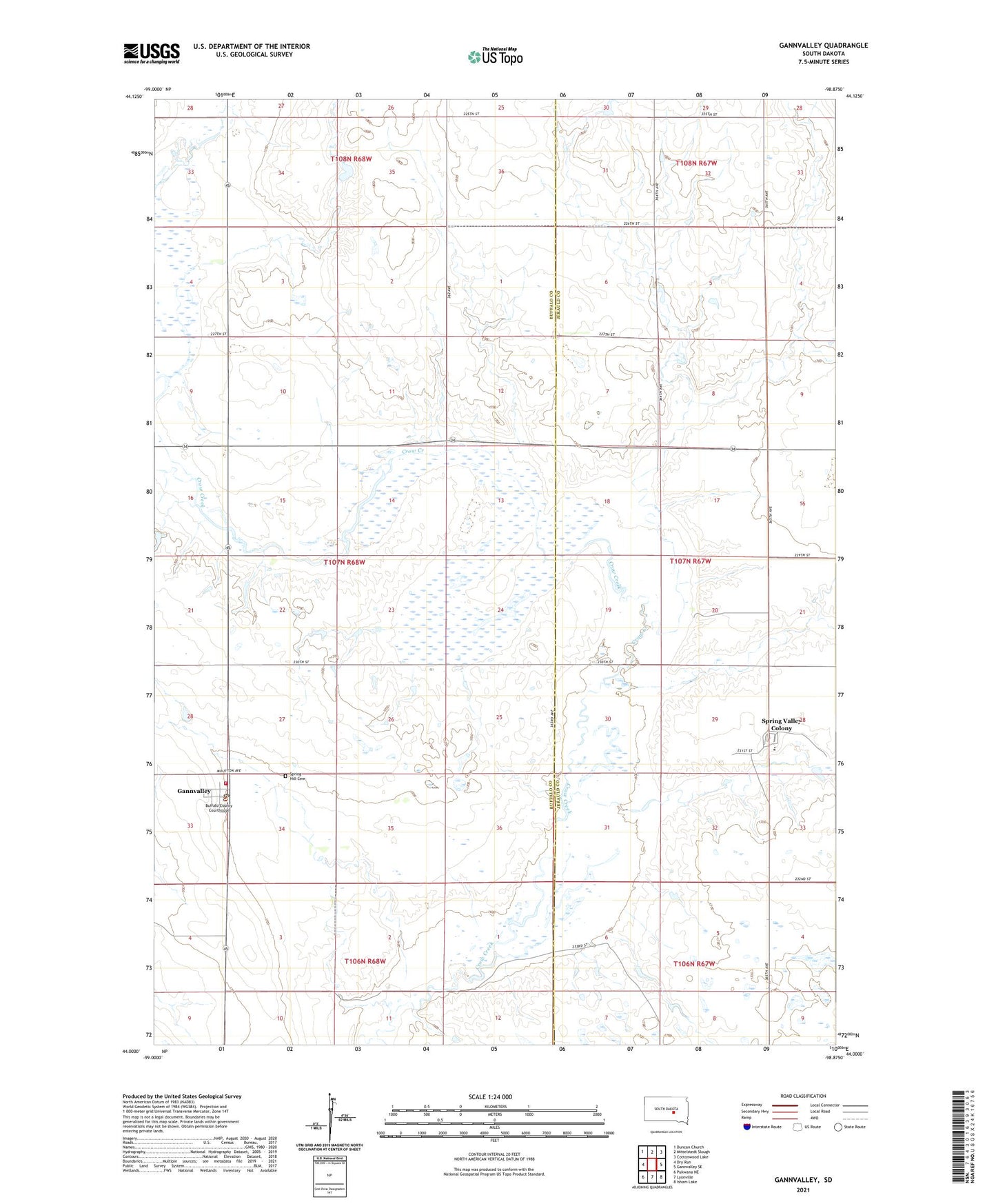
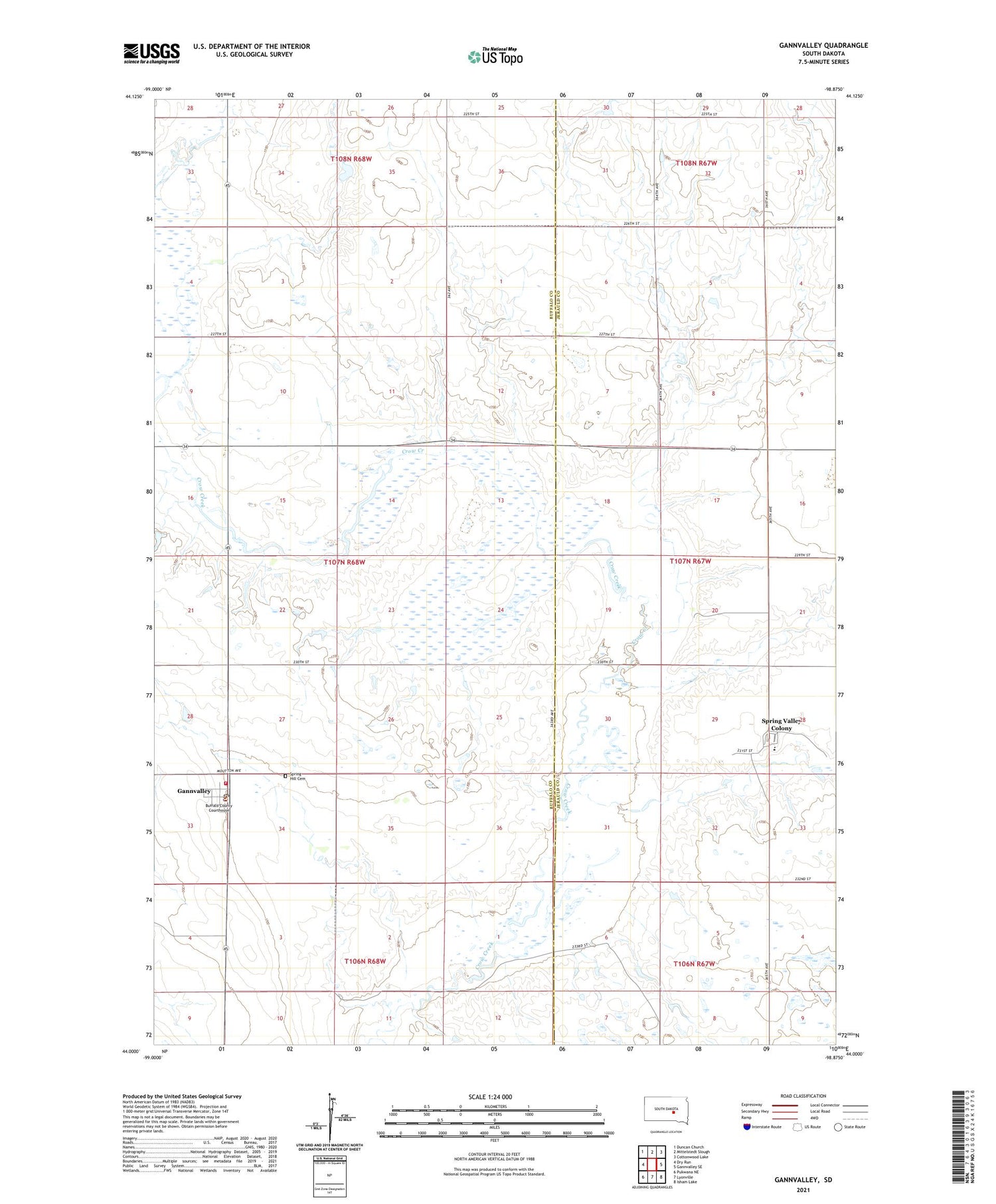
2021 topographic map quadrangle Gannvalley in the state of South Dakota. Scale: 1:24000. Based on the newly updated USGS 7.5' US Topo map series, this map is in the following counties: Buffalo, Jerauld. The map contains contour data, water features, and other items you are used to seeing on USGS maps, but also has updated roads and other features. This is the next generation of topographic maps. Printed on high-quality waterproof paper with UV fade-resistant inks.
Quads adjacent to this one:
West: Dry Run
Northwest: Duncan Church
North: Mittelstedt Slough
Northeast: Cottonwood Lake
East: Gannvalley SE
Southeast: Isham Lake
South: Lyonville
Southwest: Pukwana NE
Contains the following named places: Beal Stockwater Dam, Buffalo County Courthouse, Buffalo County Sheriff's Office, Eldorado, Gan Valley Fire Department, Gann Valley Census Designated Place, Gann Valley Post Office, Gannvalley, Knight Dam, Olsen Dam, Spring Hill Cemetery, Spring Valley Colony, Spring Valley Colony Census Designated Place, Spring Valley Colony Church, Spring Valley Colony Elementary School, Spring Valley Colony High School, Waterbury, Waterbury School Number 3