MyTopo
Gannvalley SE South Dakota US Topo Map
Couldn't load pickup availability
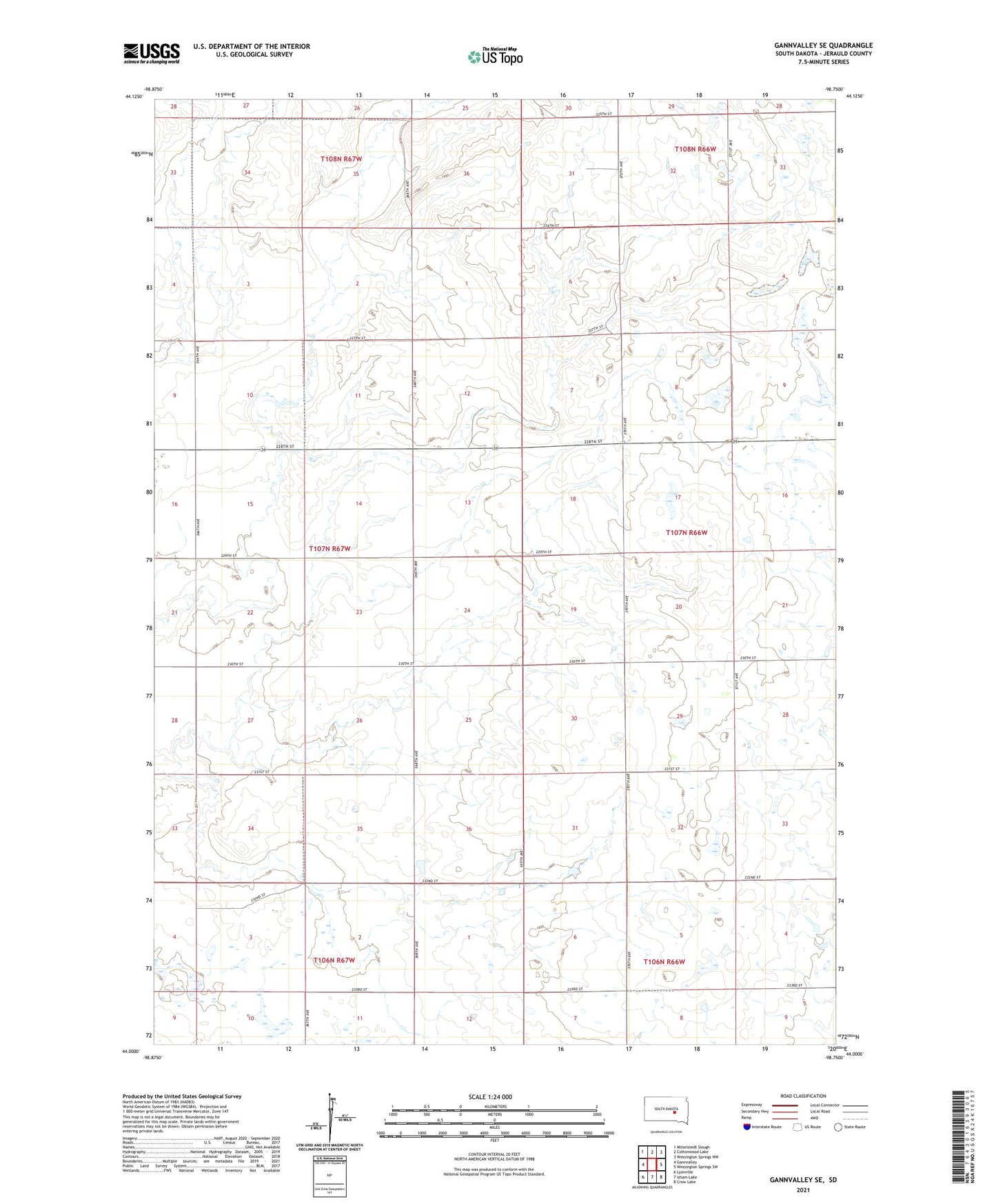
2021 topographic map quadrangle Gannvalley SE in the state of South Dakota. Scale: 1:24000. Based on the newly updated USGS 7.5' US Topo map series, this map is in the following counties: Jerauld. The map contains contour data, water features, and other items you are used to seeing on USGS maps, but also has updated roads and other features. This is the next generation of topographic maps. Printed on high-quality waterproof paper with UV fade-resistant inks.
Quads adjacent to this one:
West: Gannvalley
Northwest: Mittelstedt Slough
North: Cottonwood Lake
Northeast: Wessington Springs NW
East: Wessington Springs SW
Southeast: Crow Lake
South: Isham Lake
Southwest: Lyonville
This map covers the same area as the classic USGS quad with code o44098a7.
Contains the following named places: Eden School Number 5, Harmony Church, Hyde Post Office, Marlene School Number 2, Reindl School Number 2, Stony Point School Number 3, Township of Crow, Waterbury Post Office