MyTopo
Greasewood Draw South Dakota US Topo Map
Couldn't load pickup availability
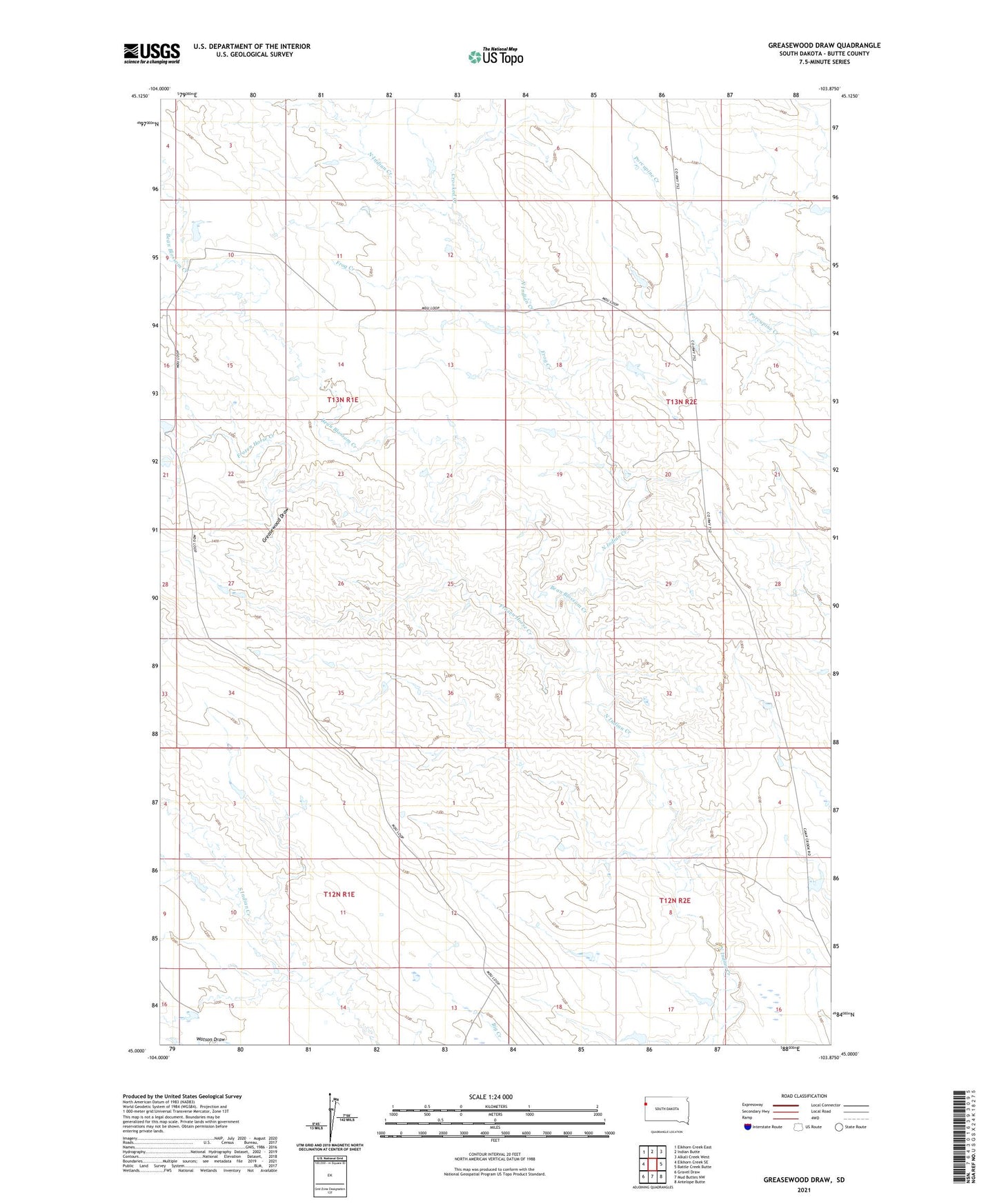
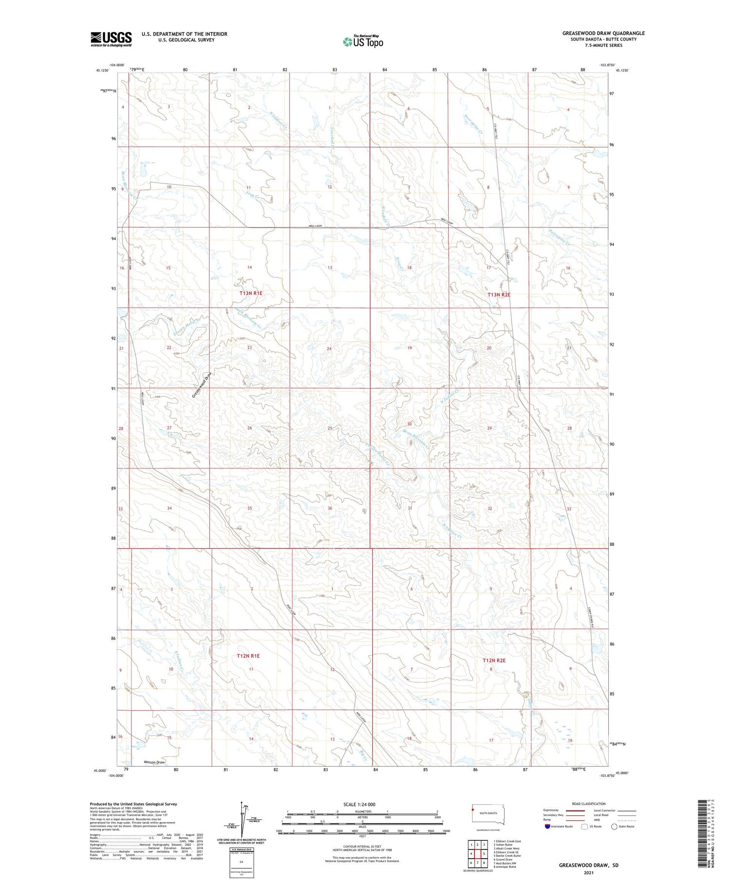
2021 topographic map quadrangle Greasewood Draw in the state of South Dakota. Scale: 1:24000. Based on the newly updated USGS 7.5' US Topo map series, this map is in the following counties: Butte. The map contains contour data, water features, and other items you are used to seeing on USGS maps, but also has updated roads and other features. This is the next generation of topographic maps. Printed on high-quality waterproof paper with UV fade-resistant inks.
Quads adjacent to this one:
West: Elkhorn Creek SE
Northwest: Elkhorn Creek East
North: Indian Butte
Northeast: Alkali Creek West
East: Battle Creek Butte
Southeast: Antelope Butte
South: Mud Buttes NW
Southwest: Gravel Draw
Contains the following named places: Bean Blossom Creek, Crooked Creek, Frog Creek, Frozen Horse Creek, Greasewood Draw, Township of Morreau, Twin Dams