MyTopo
Harrisburg South Dakota US Topo Map
Couldn't load pickup availability
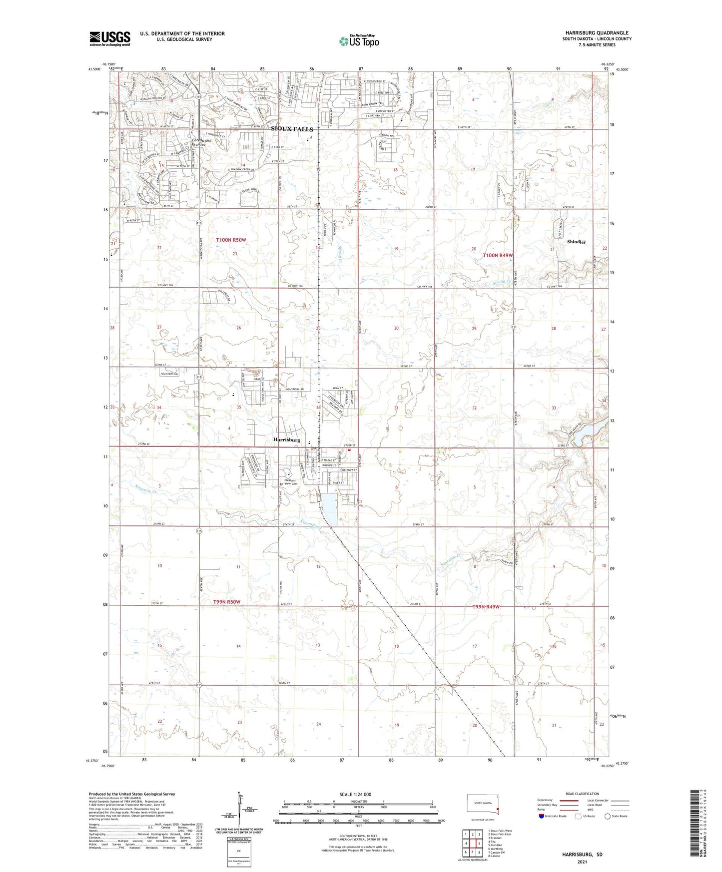
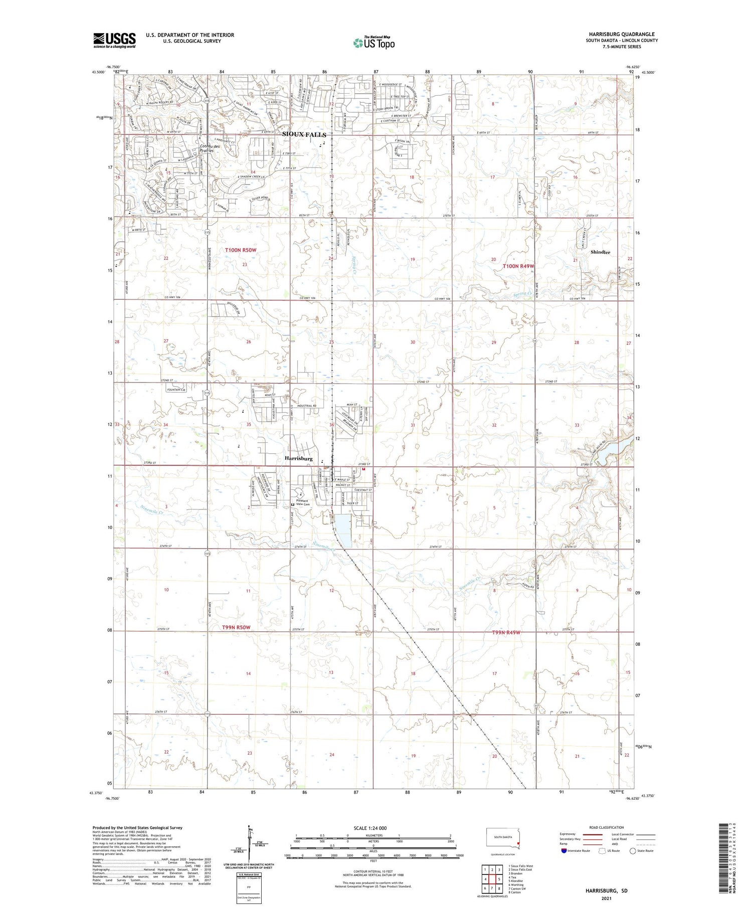
2021 topographic map quadrangle Harrisburg in the state of South Dakota. Scale: 1:24000. Based on the newly updated USGS 7.5' US Topo map series, this map is in the following counties: Lincoln. The map contains contour data, water features, and other items you are used to seeing on USGS maps, but also has updated roads and other features. This is the next generation of topographic maps. Printed on high-quality waterproof paper with UV fade-resistant inks.
Quads adjacent to this one:
West: Tea
Northwest: Sioux Falls West
North: Sioux Falls East
Northeast: Brandon
East: Klondike
Southeast: Canton
South: Canton SW
Southwest: Worthing
Contains the following named places: Bob Young Field, City of Harrisburg, Freedom Elementary School, Harrisburg, Harrisburg City Hall, Harrisburg Community Library, Harrisburg Fire Department, Harrisburg High School, Harrisburg Middle School, Harrisburg Post Office, Journey Elementary School, KELO-AM (Sioux Falls), KSOO-AM (Sioux Falls), Lake Alvin, Liberty Elementary School, Lillibridge Track, Lutheran High School of Sioux Falls, Muller School, Pleasant View Cemetery, Sanford Health Sports Complex, Shindler, Shindler Census Designated Place, Shindler School, Simmons School, Sioux Falls Christian Elementary School, Sioux Falls Christian High School, Sioux Falls Christian Middle School, Springdale, Stilwell School, Township of La Valley, Township of Springdale, ZIP Codes: 57032, 57108