MyTopo
Hayes South South Dakota US Topo Map
Couldn't load pickup availability
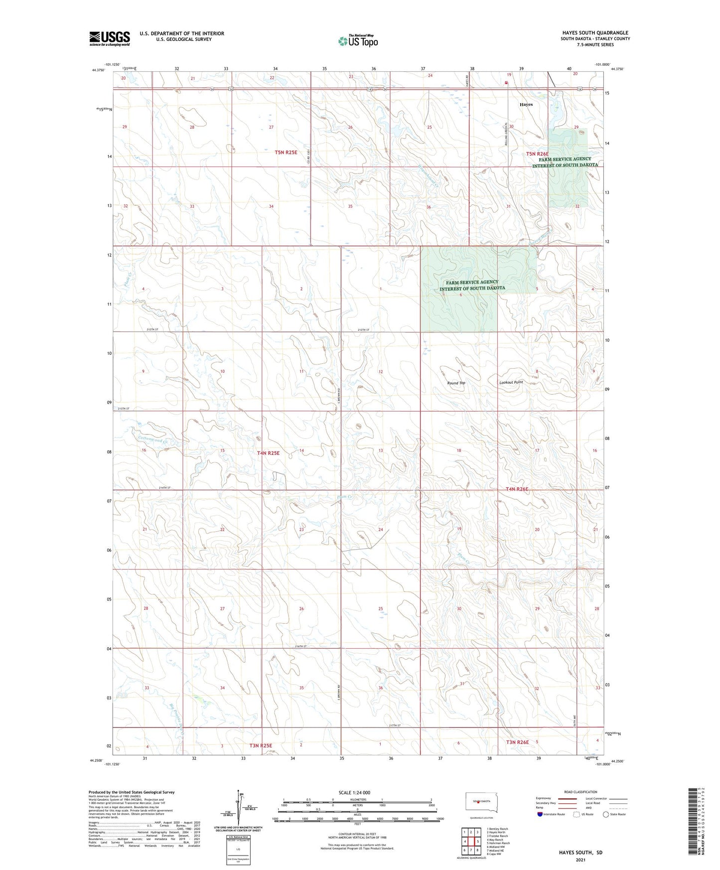
2021 topographic map quadrangle Hayes South in the state of South Dakota. Scale: 1:24000. Based on the newly updated USGS 7.5' US Topo map series, this map is in the following counties: Stanley. The map contains contour data, water features, and other items you are used to seeing on USGS maps, but also has updated roads and other features. This is the next generation of topographic maps. Printed on high-quality waterproof paper with UV fade-resistant inks.
Quads adjacent to this one:
West: May Ranch
Northwest: Bentley Ranch
North: Hayes North
Northeast: Fratzke Ranch
East: Hohrman Ranch
Southeast: Capa NW
South: Midland NE
Southwest: Midland NW
This map covers the same area as the classic USGS quad with code o44101c1.
Contains the following named places: Bunker, Cloverdale Ranch, Cottonwood Creek, Four Corners Volunteer Fire Department, Fratzke Ranch, Gay Lord Sauceman Dam, Gillaspie Ranch, Grace Church, Groff Ranch, Hannum Ranch, Hayes, Hayes Dam, Hayes Emergency Airstrip, Hayes Lake, Hayes Lake State Access Area, Hedman Ranch, Kirkpatrick Ranch, Little Brown Church, Lookout Point, Norman Ranch, Purcell Ranch, Round Top, Schmitz Ranch, Township of Plum Creek, Wagonhound Creek