MyTopo
Hereford NE South Dakota US Topo Map
Couldn't load pickup availability
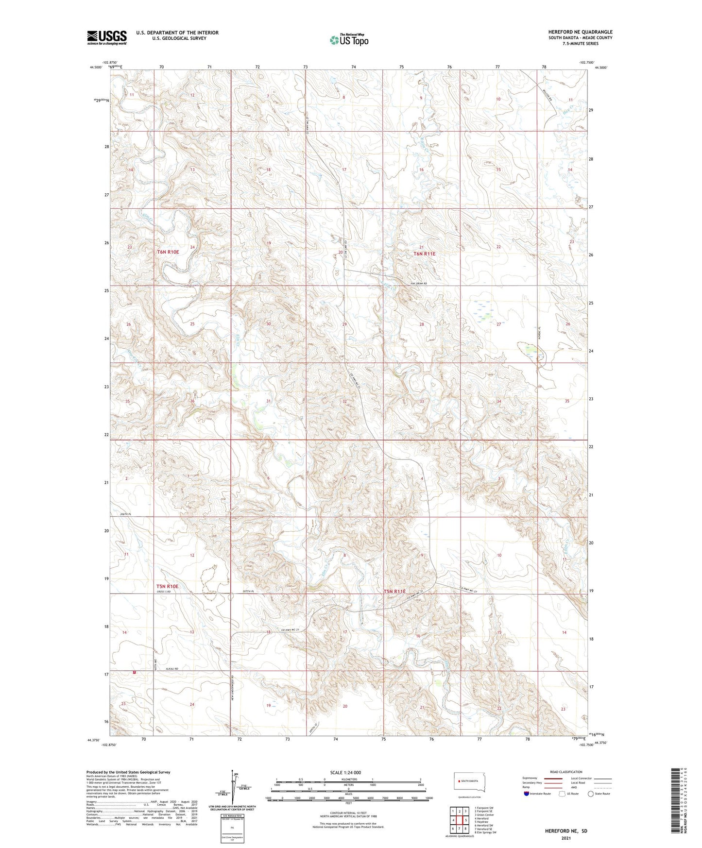
2021 topographic map quadrangle Hereford NE in the state of South Dakota. Scale: 1:24000. Based on the newly updated USGS 7.5' US Topo map series, this map is in the following counties: Meade. The map contains contour data, water features, and other items you are used to seeing on USGS maps, but also has updated roads and other features. This is the next generation of topographic maps. Printed on high-quality waterproof paper with UV fade-resistant inks.
Quads adjacent to this one:
West: Hereford
Northwest: Fairpoint SW
North: Fairpoint SE
Northeast: Union Center
East: Haydraw
Southeast: Elm Springs SW
South: Hereford SE
Southwest: Hereford SW
This map covers the same area as the classic USGS quad with code o44102d7.
Contains the following named places: Dry Elm Creek, Hereford Elementary School, Hereford Fire Department, North Star School, Reichert School, Ronald Philips Dam Number 1, Unorganized Territory of Belle Fourche-Cheyenne Valleys