MyTopo
Hilland South Dakota US Topo Map
Couldn't load pickup availability
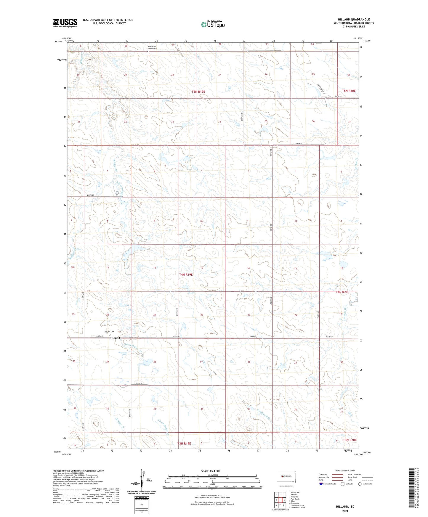
2021 topographic map quadrangle Hilland in the state of South Dakota. Scale: 1:24000. Based on the newly updated USGS 7.5' US Topo map series, this map is in the following counties: Haakon. The map contains contour data, water features, and other items you are used to seeing on USGS maps, but also has updated roads and other features. This is the next generation of topographic maps. Printed on high-quality waterproof paper with UV fade-resistant inks.
Quads adjacent to this one:
West: Post Ranch
Northwest: Hilland NW
North: Hartley
Northeast: Milesville
East: Elbon
Southeast: Elevenmile Corner
South: Grindstone Butte
Southwest: Grindstone
Contains the following named places: Berke Ranch, Donald Ferguson Dam, Ferguson Dam, Ferguson Landing Strip, Ferguson Oasis Ranch, Ferguson Ranch, Fosse Ranch, Hilland, Hilland Cemetery, Reese Williams Dam, South Fork Bridger Creek, Township of Bridge Creek, Unorganized Territory of West Haakon, Wellsburg Union Cemetery