MyTopo
Lantry NW South Dakota US Topo Map
Couldn't load pickup availability
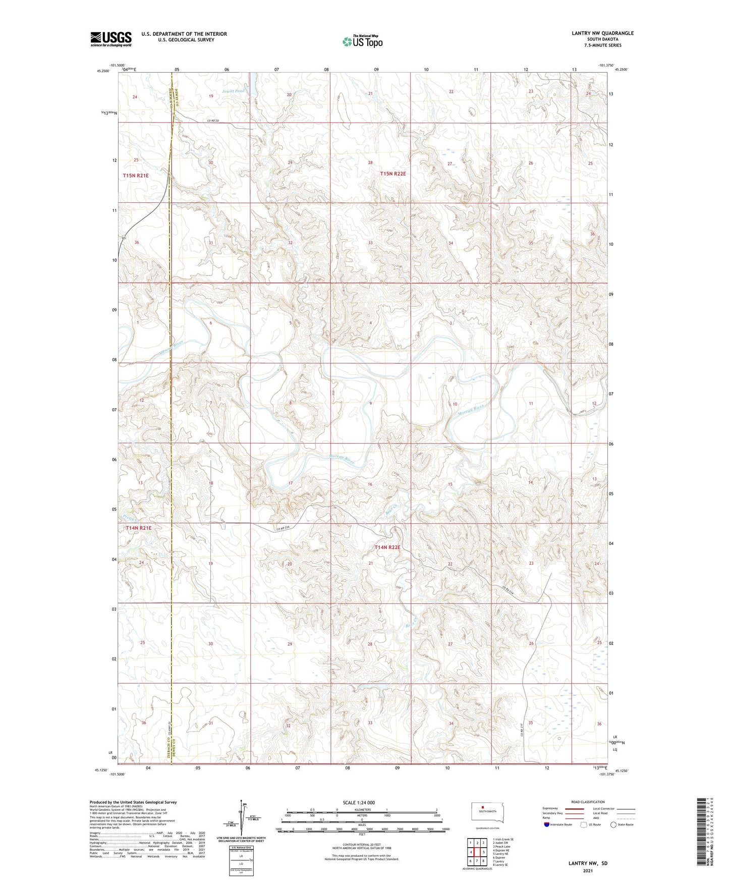
2021 topographic map quadrangle Lantry NW in the state of South Dakota. Scale: 1:24000. Based on the newly updated USGS 7.5' US Topo map series, this map is in the following counties: Dewey, Ziebach. The map contains contour data, water features, and other items you are used to seeing on USGS maps, but also has updated roads and other features. This is the next generation of topographic maps. Printed on high-quality waterproof paper with UV fade-resistant inks.
Quads adjacent to this one:
West: Dupree NE
Northwest: Irish Creek SE
North: Isabel SW
Northeast: Peach Lake
East: Lantry NE
Southeast: Lantry SE
South: Lantry
Southwest: Dupree
This map covers the same area as the classic USGS quad with code o45101b4.
Contains the following named places: Bear Creek, J Reich Number 1 Dam, J Reich Number 2 Dam, Jewitt Pond, Johnson Dam, Liebelt School, O Donnell School, O Jewett Dam, P Garr Dam, Pretty Creek, Spotted Eagle Mission