MyTopo
Moreau South Dakota US Topo Map
Couldn't load pickup availability
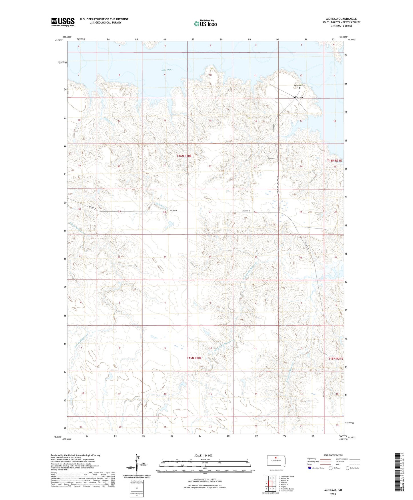
2021 topographic map quadrangle Moreau in the state of South Dakota. Scale: 1:24000. Based on the newly updated USGS 7.5' US Topo map series, this map is in the following counties: Dewey. The map contains contour data, water features, and other items you are used to seeing on USGS maps, but also has updated roads and other features. This is the next generation of topographic maps. Printed on high-quality waterproof paper with UV fade-resistant inks.
Quads adjacent to this one:
West: Promise
Northwest: Laundreaux Butte
North: Moreau NW
Northeast: Moreau NE
East: Moreau SE
Southeast: Four Bear Creek
South: Patch Skin Buttes
Southwest: Virginia
This map covers the same area as the classic USGS quad with code o45100c4.
Contains the following named places: Ascension Cemetery, Ascension Church, Blackfoot Community, East Fork No Mouth Creek, Hokshela Creek, Le Beau Creek, Moreau, Moreau River, West Fork No Mouth Creek