MyTopo
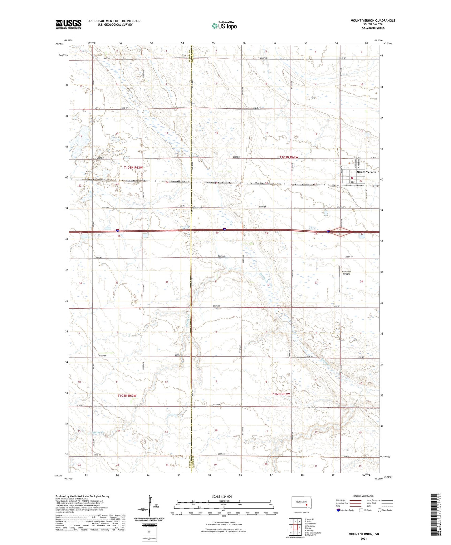
Mount Vernon South Dakota US Topo Map
Couldn't load pickup availability
2021 topographic map quadrangle Mount Vernon in the state of South Dakota. Scale: 1:24000. Based on the newly updated USGS 7.5' US Topo map series, this map is in the following counties: Davison, Aurora. The map contains contour data, water features, and other items you are used to seeing on USGS maps, but also has updated roads and other features. This is the next generation of topographic maps. Printed on high-quality waterproof paper with UV fade-resistant inks.
Quads adjacent to this one:
West: Plankinton
Northwest: Storla SW
North: Storla
Northeast: Letcher SW
East: Betts
Southeast: Mitchell SW
South: Old Stickney Lake
Southwest: Stickney
This map covers the same area as the classic USGS quad with code o43098f3.
Contains the following named places: City of Mount Vernon, Mount Vernon, Mount Vernon City Hall, Mount Vernon Elementary School, Mount Vernon Fire Department, Mount Vernon High School, Mount Vernon Middle School, Mount Vernon Post Office, Mount Vernon Public Library, Nicolaisen Airport, Quaker Cemetery, Township of Mount Vernon, Township of Union, ZIP Code: 57363