MyTopo
Phister Ranch South Dakota US Topo Map
Couldn't load pickup availability
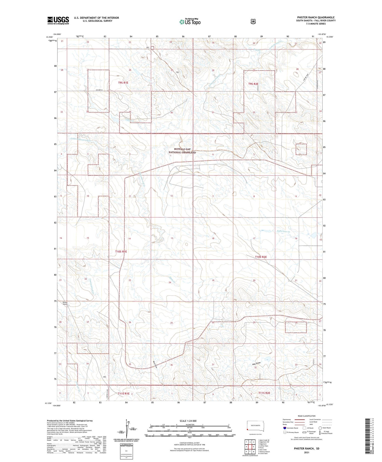
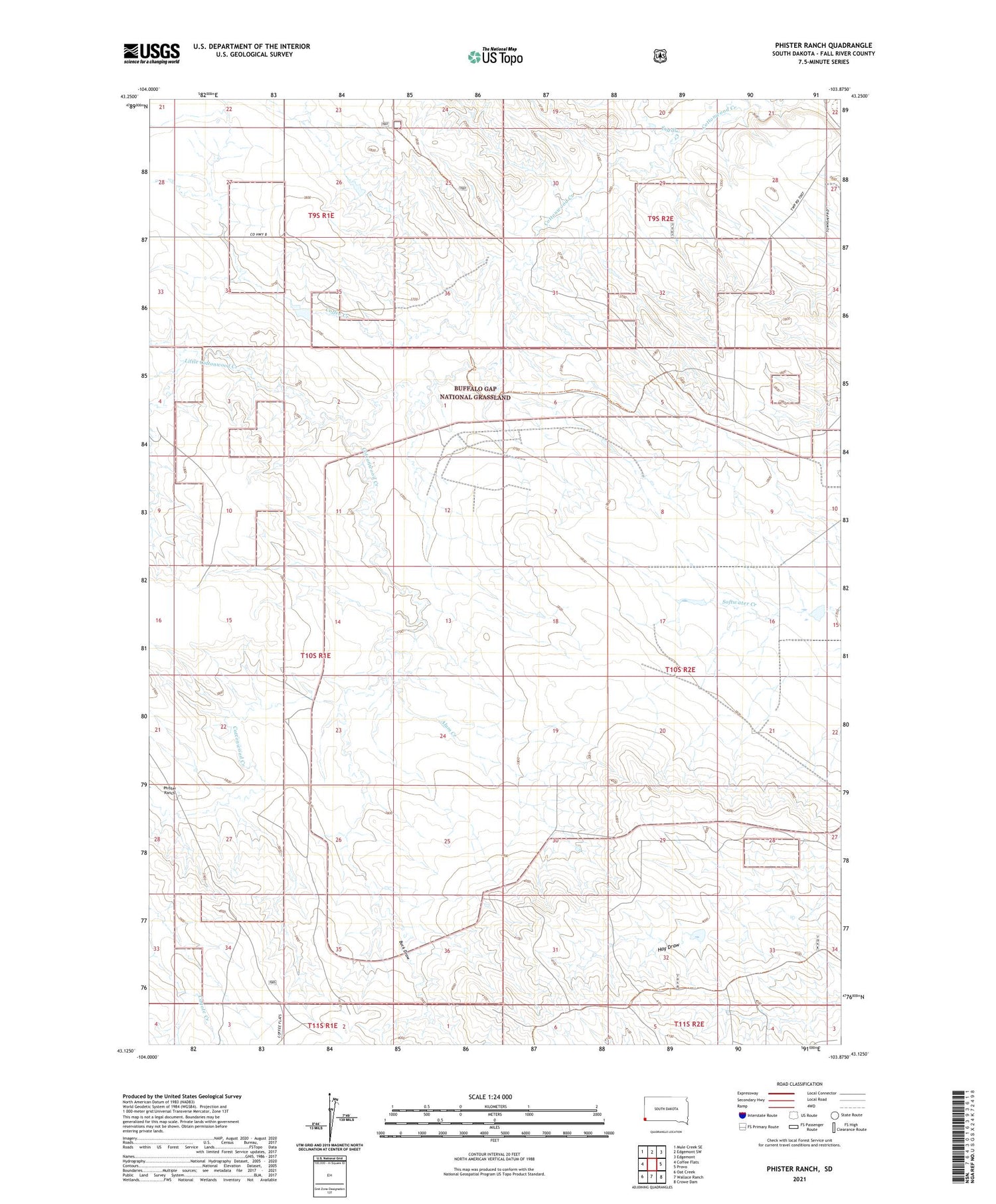
2021 topographic map quadrangle Phister Ranch in the state of South Dakota. Scale: 1:24000. Based on the newly updated USGS 7.5' US Topo map series, this map is in the following counties: Fall River. The map contains contour data, water features, and other items you are used to seeing on USGS maps, but also has updated roads and other features. This is the next generation of topographic maps. Printed on high-quality waterproof paper with UV fade-resistant inks.
Quads adjacent to this one:
West: Coffee Flats
Northwest: Mule Creek SE
North: Edgemont SW
Northeast: Edgemont
East: Provo
Southeast: Crowe Dam
South: Wallace Ranch
Southwest: Oat Creek
Contains the following named places: Alum Creek, Bhif Dam, Buck Draw, Coffee Creek, Fiddle Creek, Little Cottonwood Creek, Phister Ranch, Porter Cottonwood Dam, Township of Provo, Township of Wheeler