MyTopo
Pierpont South Dakota US Topo Map
Couldn't load pickup availability
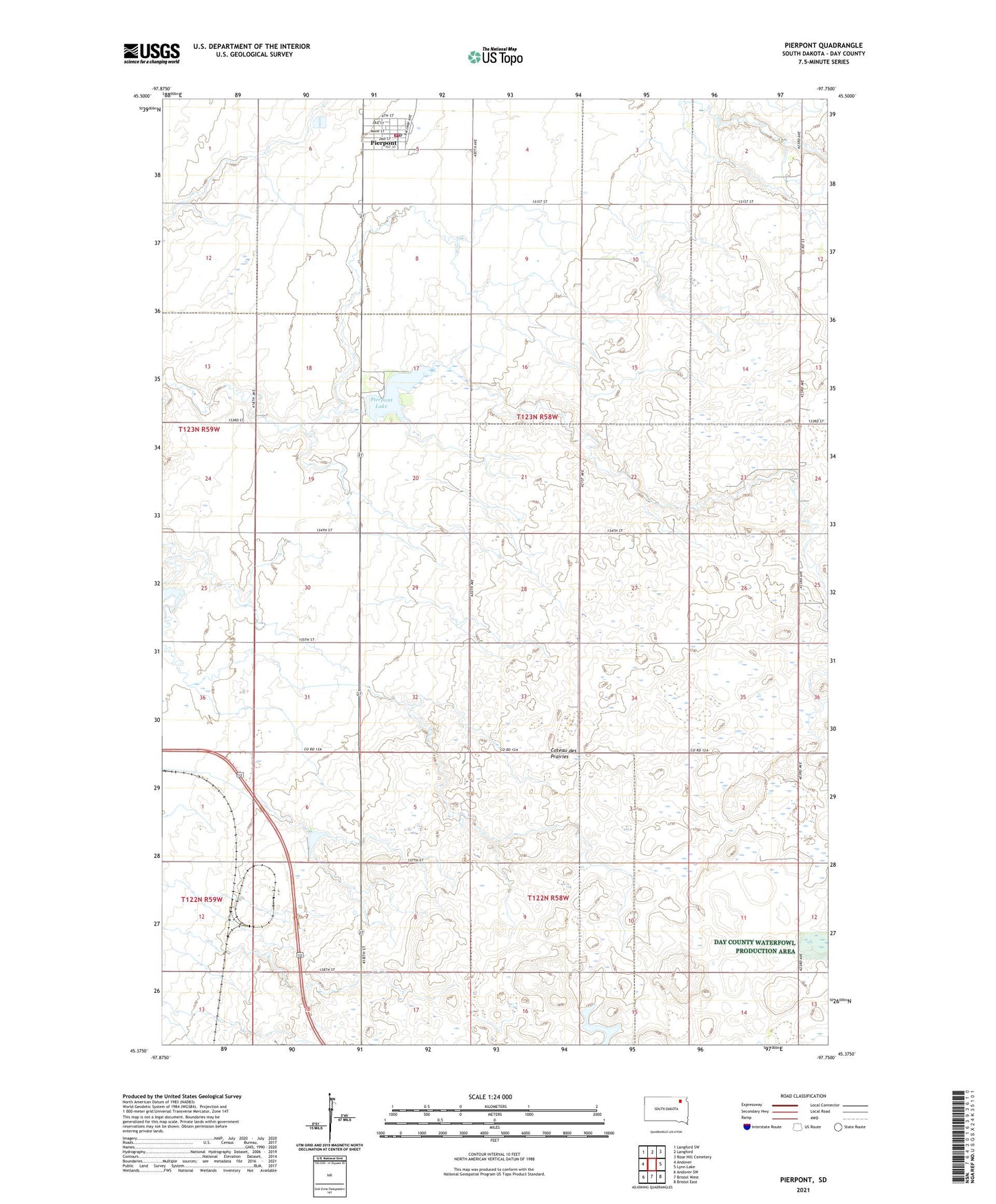
2021 topographic map quadrangle Pierpont in the state of South Dakota. Scale: 1:24000. Based on the newly updated USGS 7.5' US Topo map series, this map is in the following counties: Day. The map contains contour data, water features, and other items you are used to seeing on USGS maps, but also has updated roads and other features. This is the next generation of topographic maps. Printed on high-quality waterproof paper with UV fade-resistant inks.
Quads adjacent to this one:
West: Andover
Northwest: Langford SW
North: Langford
Northeast: Rose Hill Cemetery
East: Lynn Lake
Southeast: Bristol East
South: Bristol West
Southwest: Andover SW
This map covers the same area as the classic USGS quad with code o45097d7.
Contains the following named places: Pierpont, Pierpont Dam, Pierpont Lake, Pierpont Lake Recreation Area, Pierpont Post Office, Pierpont Rural Fire Department, School Number 142, School Number 143, School Number 180, Town of Pierpont, Township of Union, Union Prairie School, ZIP Code: 57468